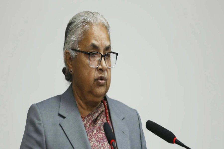
KATHMANDU, Feb 28: Minister for Land Management, Cooperatives and Poverty Alleviation Padma Kumari Aryal has said that the preparation of a revised political map of Nepal that includes territories encroached upon by India is in the final stages.
Minister Aryal said that they are preparing to soon release the political map that incorporates all the territories that belong to Nepal. She was speaking during a press conference organized at her ministry to highlight major work carried out after she assumed office. “A technical team of the Department of Survey has taken its work on developing a new map to its final stages,” she said. “Nepal’s map is being prepared using the most recent technology including LiDAR.”
Aryal said that a committee formed under the secretary of her ministry to carry out necessary homework on the new political map has one member each from the Ministry of Home Affairs, Ministry of Foreign Affairs, Ministry of Defense and Ministry of Federal Affairs and General Administration.
Who is right, who is wrong on Nepal-India battle of maps?

The controversies surrounding the political map of Nepal arose after the Indians released a new political map of India incorporating Kalapani and some other territories belonging to Nepal on the Indian side of the border. The latest move by the government comes in the wake of criticism from various quarters that the map of Nepal used in official websites and various documents relied on a faulty map produced by India’s Department of Survey.
Earlier, a parliamentary committee had directed the relevant government body to release a new political map that includes on the Nepal side of the border Kalapani and other territories in the westernmost reaches of the country.
Aryal also informed that 90 percent of the work of re-measuring the height of Mount Everest has been completed. Amid disputes about the exact height of Everest, Nepal had started measuring the world’s tallest peak for the first time with its own manpower and resources.
Aryal also informed that the ministry has formulated a law for the management of landless people and unmanaged settlements and this was being implemented very soon.
The minister further informed that her ministry had started a massive campaign to reclaim government lands encroached upon by private parties. She said the government had so far retrieved 284 bigha [45.6 hectares] of public land.
While stating that the government is preparing to bring about an amendment in the Cooperatives Act, she said an integrated Land Act that includes provisions governing Guthi (trusts) lands will also be introduced after holding discussions with stakeholders. “We have received suggestions from the stakeholders. We have further decided to form an advisory committee focusing on Kathmandu Valley so that we won’t have to face any problems in the coming days,” she said.


