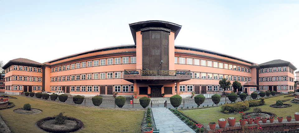
KATHMANDU, Sept 14: The Supreme Court's decision to designate 20 meters of land along riversides in the Kathmandu Valley to make it environmentally friendly has sparked widespread discussion and protest. A dispute seems to have arisen between the government and the Kathmandu Metropolitan City (KMC) regarding this ruling.
The government has indicated that it will review the decision. Prime Minister KP Sharma Oli has publicly criticized the Supreme Court (SC), claiming the decision was made without proper study. However, this is not the first time such a ruling has been made by the court. The decision is based on government rulings from 15 years ago, various study reports, past precedents, and laws. It takes into account the 2021/22 BS survey, prior government decisions, the Rawal report, and court precedents.
Scientific surveys were conducted in the valley from 2021 to 2023 BS, and again in certain parts of Kathmandu in 2045 BS. It is necessary to examine whether the river has shifted or changed course during these periods.
The court has suggested that these points can be clarified through a comparative study of the maps. In light of widespread encroachment on riverside land, the court stated that using the 2021 BS measurement as a basis in case of disputes could help determine the river’s boundaries.
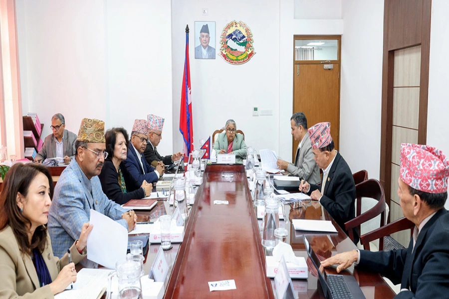
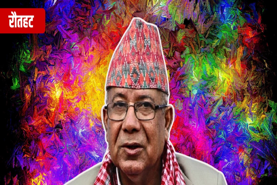
"We have asked for a re-evaluation. The SC will take into account the grievances of the people and base its decision on existing standards. The problem should be addressed constructively," said PM Oli, after a group led by Suman Sayami submitted a memorandum opposing the verdict.
The PM said, "Only those who wish to appear powerful may be pleased with the SC’s decision. Leaving about 20 meters of land, which is the permanent residence of many people, would require a significant portion of Kathmandu to be vacated."
In light of the severe flooding in the Bagmati River and its tributaries, the Council of Ministers on December 16, 2008 decided to leave a minimum of 20 meters of land on both sides of the rivers, except where boundaries were already set.
JC recommends 35 judges for district courts and six judges for...

For any river or stream encroaching on government land within that distance, if no boundary has been set, a minimum buffer of 20 meters on each side must be maintained. If no structures have been built within this buffer zone, the area will be declared a construction-prohibited zone.
The Supreme Court has also ruled that no further construction permits will be granted in these areas. For existing structures, any land necessary for infrastructure such as roads, sewers, or processing centers will be acquired with compensation, as per the law.
The ruling further emphasized that public land along the rivers should remain open for parks, green spaces, and recreational purposes, considering the rapid urbanization of the Kathmandu Valley. The transfer of land for government, organizational, or memorial purposes is prohibited.
The court has instructed that the survey maps from 2021/22 BS will be used as a basis to determine public and riverside land, along with the findings of the Rawal Commission from 2052 BS. Additionally, the court ordered an investigation into the illegal registration of land flooded during the rainy season and to take appropriate action under Section 24 of the Property Act, 2034.
The decision also takes into account the report of the 'High-Level Commission on Government and Public Land Inquiry and Conservation established in 2049 BS under former Prime Minister Girija Prasad Koirala. The commission, chaired by former secretary Ram Bahadur Rawal, found that 1,859 ropanis of land had been illegally seized by land mafias in the Kathmandu area.
The court has also directed authorities to identify genuine squatters living along the riverbanks and relocate them to designated housing in areas like Ichangunarayan.
The Supreme Court of Nepal has addressed the right to residence under Article 37(1) of the Constitution, particularly for those unable to be resettled in the Ichangunarayan area due to housing constraints. The court emphasized the need for a phased approach to maintain riverbanks, build embankments, and gradually relocate residents occupying the green areas between the riverbank and roads. It also suggested providing financial support to assist in their relocation.
The petitioner’s main goal is to reduce pollution in the Bagmati and its tributaries and ensure a healthy environment. The petitioner has pursued this case through various writ petitions since the 2050s.
Another significant issue raised is the removal of illegal encroachments along the riverbanks, often claimed by squatters. In a separate writ petition involving the Government of Nepal against Krishna Prasad Upadhyay, the Supreme Court ruled that the petitioner had no authority to cancel the notice issued by the concerned body to remove unplanned structures from public land. The decision allows the government or local authorities to designate alternative sites for those who have built homes on the riverbanks.
An integrated building in Nagarjun Municipality 1, Ichangunarayan, has been designated to resettle 230 families, though identifying genuine squatters among those living along the river remains an ongoing challenge.
The court has also proposed using 2021/22 BS survey data to delineate public land along the riverbanks. A report by the 'Rawal Commission' in 2052 BS highlighted significant encroachments along Bagmati, Bishnumati, and Dhobi Khola rivers. The SC’s ruling, issued on August 5, 2019, mandated that an additional 20 meters of land should be left clear from the riverbanks, and implementing this could aid in preserving the river areas and removing illegal structures.
Despite a directive from the Council of Ministers on December 6, 2008, to leave an additional 20 meters of space along rivers, this mandate has not been fully implemented.
The court highlighted that urbanization in the Kathmandu Valley is negatively impacting underground water systems by reducing arable land and affecting water resource replenishment. It criticized the lack of requirements for managing rainwater during construction projects, which poses a risk to water balance and infrastructure.
A joint bench of Justices Anand Mohan Bhattarai and Binod Sharma has decided to use the survey map prepared in the year 2021/22 BS to determine public land and riverside land. The full text of the judgment passed by the bench on December 19, 2023 was made publicly available in August.
A directive order has been issued from the bench to make an effective bill without delay and submit it to the parliament in consultation with the stakeholders and representing everyone. The Supreme Court has asked to make arrangements for the formation of the High-Powered Committee for Integrated Development of Bagmati Civilization until the law is made, so that the head of all the municipalities in the valley will be represented.
The court's decision follows a writ petition filed by Advocate Prakash Mani Sharma and others, which sought protection against untreated sewage and unauthorized constructions along riverbanks. The court's previous rulings, including one from 2057 BS, emphasized proper waste management and environmental protection as critical components of river conservation.
The Supreme Court has stressed the need for a legally empowered organization to replace the current High-Powered Committee for Integrated Development of Bagmati Civilization to ensure effective management and protection of the river system.


