The direct route from Kathmandu to Nar and Phu is along the Marshyangdi River. Travelers trek through the Himalayan foothills and round the eastern end of the Annapurna circuit before they arrive at Manang. From here, a long and steep trial winds up to Nar and Phu. [break]
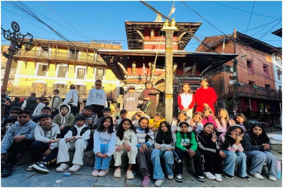
Photos Courtesy: Manang Youth Society
Apart from the odd researcher and climbing expedition permitted to climb Himlung, Ratnachuli and Pokhar Kang, few foreigners have visited the area and tourism infrastructure is almost non-existent. The Annapurna Conservation Area Project (ACAP) has recently extended its network to include Nar and Phu, and is building campsites and holding tourism training for locals.
The area is home to the endangered snow leopard and its prey blue-sheep. Khampas (Tibetan rebels) had once captured the valley and lived illegally at Jhunum, Chayakhu, Metha and Kyang. Old Khampa settlements can be seen along the trial on the way to Nar and Phu. Today, Narbas and Phubas use these old settlements as byres and a place where they pass the winter, avoiding the cold in their villages. Phu boasts one of the oldest gompas in the region – Tasshi Lhakang Monastery.
The Yerthung Horse Festival also takes place in Manang in mid July. The villagers, transformed into warriors, compete against each other and though there’re no prizes to be won, there’s an unspoken acknowledgement of the best man and his best horse. Yertung is a ritual steeped in customs and traditions and besides the actual running of the horses, the festivities at first take on a somber air of warriors going to battle and then, change to one of gaiety with traditional singing and dancing in the end.
Trip Highlights
You will get to witness unchanged pastoral lifestyle and wilderness. You’ll get to observe the lifestyle of Yak herders, diverse scenery and culture of Tibetan, Gurung, Manangi besides getting a glimpse of the spectacular 360 degree Mountain View from Nar pass.
Trek Details
Day 01 (Kathmandu to Koto)
Drive to Koto from the capital which will take approximately 11 hours.
Day 02 (Koto - Dharamsala)
Duration – 14 km
Altitude – 3230m
Cross the river leading to the Nar Phu valleys, and hike up through woods above the Phu Khola (river).The route takes you through beautiful woods and past several small caves. Then camp at Dharamshala.
Day 03 (Dharamshala – Kyang)
Duration – 13 km
Altitude – 3820m
A steep climb up to the valley along a small, scenic river brings you finally to high pastures on a 3200m plateau. You’ll pass by the scenic kharka of Metha, 3560m, a non permanent winter settlement of Nar. An hour past Metha is the second semi-permanent settlement Junam where “Khampas” from Tibet sheltered before. You’ll eventually reach the campsite at Kyang, the extensive winter settlement of Phu, on a plateau high above the river.
Day 04 (Kyang – Phu)
Duration – 9 km
Altitude – 4080m
After lunch, visit to Tasshi Lhakang Monastery.
You will get to see some of
the unique, colorful chortens
for which Nar and Phu are famous for. You will also see Phu gate, called Pupigyal Kwe. This ancient gate provides you with your first view of the three villages of Phu, as well as an old “dzong” and the remains of two forts, all now in ruins, but impressively situated atop the flatlands before Phu. Just before the bridge to Phu, a line of wonderful chortens color the landscape and lead the way to the main village of Phu, perched high up on a hill.
Day 05 (Sightseeing in Phu)
Spend an extra day in the area meeting the locals of Phu. You can also hike towards east through a glacial valley which leads to Himlung Himal base camp. A walk west, past Phu towards the chortens on the hillside, provides some incredible views down over Phu and the surrounding fields, forts, valleys and peaks.
Day 06 (Phu village – Loang)
Duration – 8 km
Altitude – Phu Pass 5056m
Loang 4680m
Day 07 (Loang – Chaungseng Kharka)
Duration – 9 km
Altitude – Nar Pass 5400m
Day 08 (Chaungseng Kharka – Nar)
Duration – 9 km
Altitude – 4110m
Nar is not far from the main Annapurna trail but is rarely visited by trekkers. Nar is a bit more social and lively than Phu. Nar villagers are engaged in printing prayer flags and carpentry too.
Day 09 (Nar – Khangla Phedi)
Khangla Pass base camp is just about two hours easy walk from Nar. So you can spend the morning in the village and leave in the afternoon for a night stay at Khagla Phedi.
Day 10 (Khangla Phedi – Khangla Pass – Manang)
Altitude – 5306m
Kangla pass (5240m) is an absolutely spectacular pass looking over Annapurna II, Gangapurna, Tilicho peak, the peaks surrounding Tilicho and the airport at Humde.
Ngawal can be reached in as little as two hours from the pass and is a wonderful old village of paved streets, prayer wheels and beautiful architecture. Then head to Manang through an open forest to Braga from where Manang is just a 20-30 minute walk away.
(Day 11 Manang)
Manang (3500m) is packed with trekkers, lodges, bakeries and souvenir shops. The Annapurna Conservation Area Project (ACAP) and Himalayan Rescue Association (HRA) centers lie in Manang. You can visit the museum that showcases the culture of Manang. You can go down to Gangapurna Lake which is just about 15 minutes away.
Exploring Nar-Phu valleys
An alternative trek route to Nar (4100m) and Phu (3800m) has recently been explored and conceptualized. The route lies in the very north of Manang district (2446 sq) bordering the autonomous region of Tibet. The route was developed and promoted by Manang Youth Society (MYS), an NGO along with the support of Trekking Agent Association Nepal (TAAN) and Annapurna Conservation Area Project (ACAP).
The Week talked to Tripple P Gurung, a pilot by profession and president of MYS to know more about the trek and its prospects.
Why is an alternative trek route being explored and promoted?
The actual route is a 22 days trek and this is a part of it. We basically discovered the section from Phu village to Loang. We’ve been trying to find an alternative trek route in the north of Manang district for the last three-four years and we’ve spent the last two years researching, exploring and asking locals how we can shape the route. Nar and Phu fall on the trail which was restricted until 2003. There were many villages there that didn’t benefit from tourism. So we tried making a trail that passes through certain villages so that the local people can benefit. We’re making use of the existing infrastructure to explore this route which is just one section of the trail and a part of the Annapurna circuit. By promoting this route we’re also trying to give a message that though government is collecting revenue, they haven’t done anything for the villages so far. Also we want tourists and Nepalis alike to explore these villages and discover just how beautiful they are.
What are the challenges of this project?
When we started to explore this new route, there were no proper roads. With the support of the locals, we explored the road that the shepherds and local people used and followed the trail. In this region, tourism has contributed a lot to boost the economy of the country. But due to the construction of the road, the trekking route has become dustier. For two whole years we had to research a lot and interact with local people to find the right answers. There were many difficult and risky paths that we had to tread and some of those paths were never walked upon before. Other than that, we had to be physically fit in order to trek continuously for many days. There were many challenges like that but luckily, the support of the locals helped in making it a bit easier.
What are the benefits of the alternative route?
Earlier when trekkers wanted to visit Nar and Phu, they travelled to Phu from Metha and after reaching Phu, they’d return to Metha and walk to Nar from there. Now instead of coming back from Phu, you can do a small loop and go to Nar and finally reach Manang where the whole circuit ends. Through the route, you can complete the trek in just twelve days. In the northern belt, not only in Nar and Phu, there’re many opportunities for tourism even in places like Jumla and Humla. The culture is rich and Manang is just an example. So I can see the future and potential of tourism in the northern belt. You cannot create a mountain and culture but you can utilize and promote what’s already there. This new route will help to do just that.
The ultimate trek


