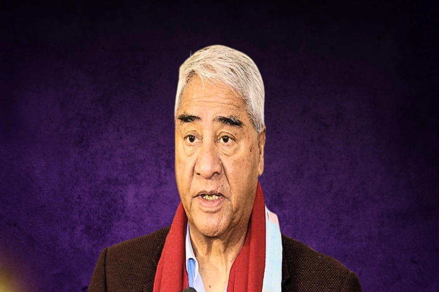
KATHMANDU, Dec 20: Former prime minister Madhav Kumar Nepal has urged the government to initiate diplomatic efforts to resolve the border dispute emerged in the Kalapani region at the earliest, arguing the erstwhile CPN-UML had gathered some evidences to substantiate the claim that Limpiyadhura falls in the Nepali territory.
This request comes from Nepal, one of the top leaders of the ruling Nepal Communist Party, after Indian Home Ministry released the political map placing the Nepali territory of Lipulek and Kalapani within the Indian border.
Who is right, who is wrong on Nepal-India battle of maps?

Immediately after the Indian move, protests sparked in Nepal and the government dispatched a diplomatic note to the Indian governed. And the suggestion from leader Nepal comes at a time when the government has been accused of slowing down diplomatic efforts to correct the Indian map.
Leader Nepal remembers the then Indian Ambassador to Nepal, KV Rajan, had vowed to settle border issues after being convinced with the facts included in a booklet called Limpiyadhura: Illusion and Reality.
“The booklet had established facts included in the booklet. The Indian side had agreed to resolve the dispute based on those facts,” said Nepal commenting on the political report tabled at the party’s ongoing standing committee meeting, adding, “Now, talks should be begun at the earliest based on those facts.”




_20200519093822.jpg)


