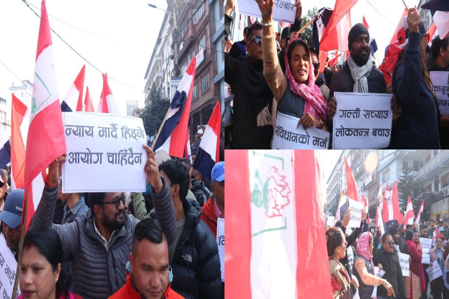
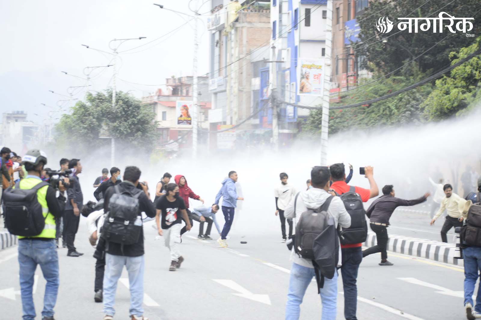
KATHMANDU, Jan 3: Even as there has been huge public outcry here against the inclusion of Kalapani and other territories in India’s new political map, the Indian side has reiterated its stance that the map ‘accurately’ depicts the sovereign territory of India.
Responding to a query by a journalist during a regular press briefing in New Delhi on Thursday, Ministry of External Affairs (MEA) Spokesperson Raveesh Kumar said the new map has in no manner revised India’s boundaries with Nepal.
India should be ready to resolve border issue

“As far as boundary question is concerned, we have made our position very clear. I can only reiterate that our map accurately depicts the sovereign territory of India. The new map has in no manner revised our boundaries with Nepal,” he said.
Spokesperson Kumar, however said that the boundary delineation exercise with Nepal is ongoing under the existing mechanisms. “We reiterate our commitment to resolve boundary issues through dialogue in the spirit of close friendship,” he further said.


