Saturday, 27 July 2024 09:40 AM
OR
Login using
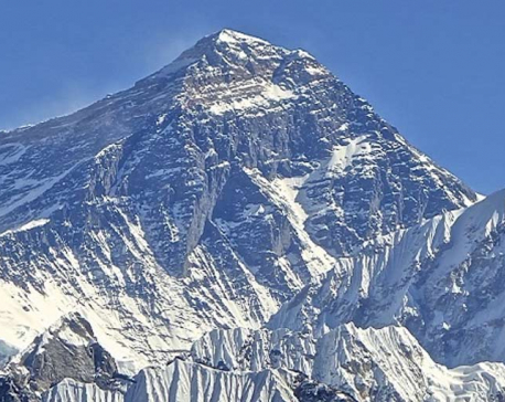
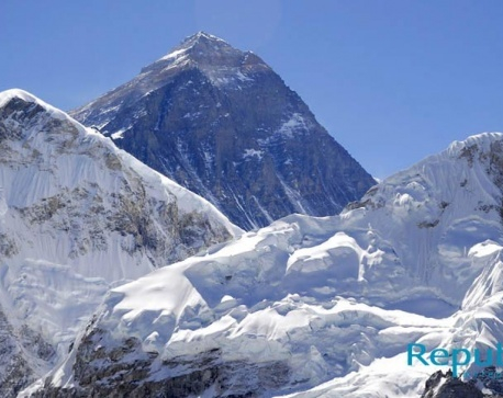
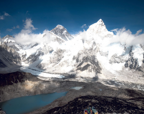
Surveyors visiting Mirchaiya to measure Mt Everest height
Published On: February 9, 2018 06:13 AM NPT By: Republica | @RepublicaNepal
KATHMADU, Feb 9: In order to measure the height of Mt Everest on their own for the first time ever in Nepal's survey history, a team of surveyors will soon leave for Mirchaiya of Siraha district.
The team comprising 16 members led by a chief survey officer has been readied to collect details of the leveling survey. They will begin works based on previously used leveling points soon after reaching Mirchaiya. Ganesh Prasad Bhatta, director general of the Department of Survey, has already cleared all administrative procedures required for the measurement of the height of the world's tallest mountain.
“Surveyors will leave for the field on Saturday as we are yet to settle some logistical preparations,” said Susheel Dangol, chief survey officer at the DoS, adding, “The surveyors will set up temporary camps along the survey route and the measurement work will begin next week.”
Chief survey officer Dangol said a few surveyors will be deployed to the field in the first lot. Their number, however, will be increased once the measurement process gains momentum.
Mirchaiya is Nepal's border with India in Siraha district. Being a landlocked country, Nepal has no access to sea. So, it plans to begin the measurement from the border point. Later, it will request India to provide leveling data to its last border while computing the final data.
Surveyors plan to measure a distance of 0.75 kilometer each day and complete the leveling survey to Solukhumbu by June. The measurement process is expected to complete within two years. “Once the leveling survey up to Everest Base Camp completes, the surveyors will collect global positioning system data and gravity data using GPS receivers.
High-altitude Sherpas are being trained to deal with the GPS receivers and other equipment as ordinary surveyors cannot summit Mt Everest in extreme cold.
Nepal is measuring Mt Everest on its own for the first time following rumors of the height of the world's tallest mountain (8848 meter) decreasing in the aftermath of 2015's devastating earthquake. The government has already allocated Rs 20 million for the task. It is estimated that it will cost Rs 250 million to complete the expedition.
Mt Everest was first measured by an Indian team led by Sir George Everest in 1852. Since then, surveyors from China, Italy, Denmark and the US measured Mt Everest but Nepali surveyors were never included in these expeditions.
You May Like This
Govt to measure height of Mt Everest
KATHMANDU, Dec 20 : Nepal has taken steps to measure the height of world's tallest peak Mt Everest for the... Read More...
Nepal to measure Mt Everest height
KATHMANDU, Sept 23: Nepal will measure Mount Everest afresh to settle a controversy over height of the world’s tallest peak,... Read More...
Here’s why it takes two years to measure Mt. Everest
Some might wonder why it takes two years to measure the height of Everest. Then, some are curious why it... Read More...
NRB unveils monetary policy
20 hours ago

NRB set to issue monetary policy today
22 hours ago

Girl found unconscious at Gwarko guest house dies
22 hours ago
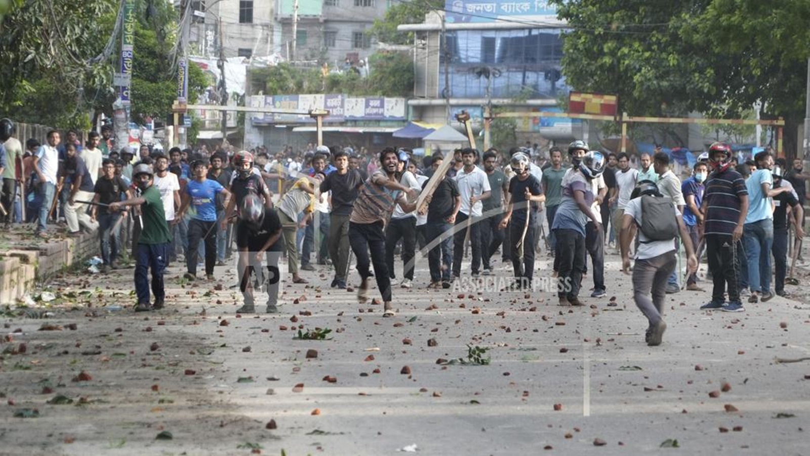
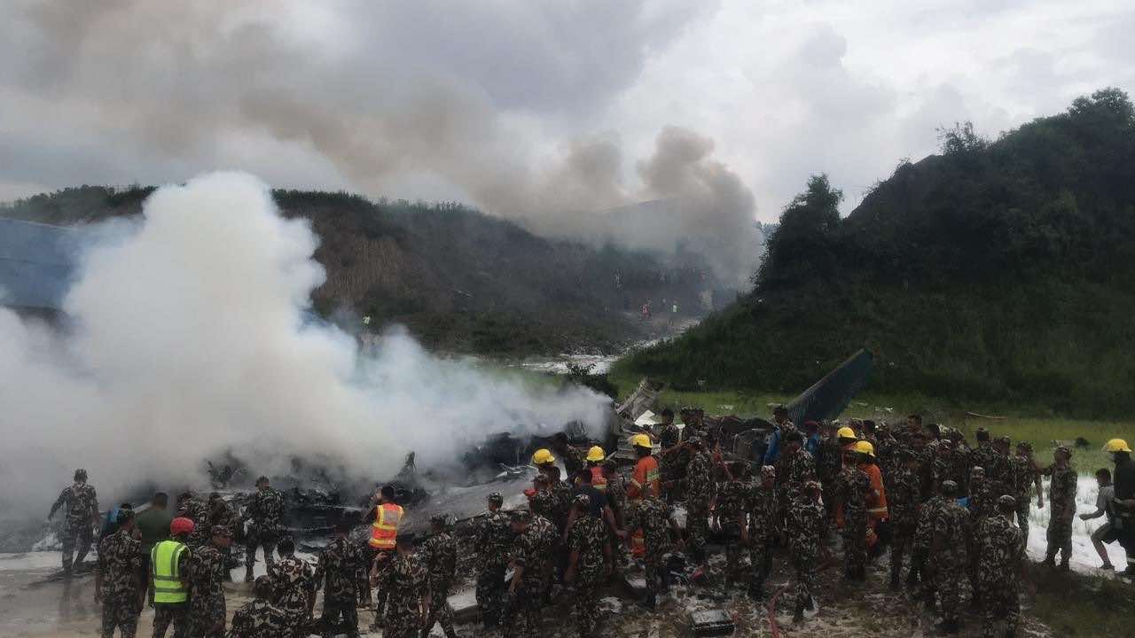
Bangladesh protest leaders taken from hospital by police
10 minutes ago
Challenges Confronting the New Coalition
45 minutes ago
NEB to publish Grade 12 results next week
12 hours ago
Just In
- Heavy rainfall likely in Bagmati and Sudurpaschim provinces
- Bangladesh protest leaders taken from hospital by police
- Challenges Confronting the New Coalition
- NRB introduces cautiously flexible measures to address ongoing slowdown in various economic sectors
- Forced Covid-19 cremations: is it too late for redemption?
- NRB to provide collateral-free loans to foreign employment seekers
- NEB to publish Grade 12 results next week
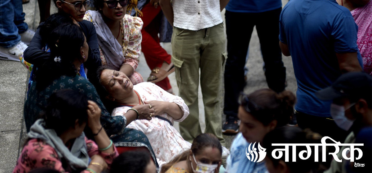
- Body handover begins; Relatives remain dissatisfied with insurance, compensation amount
Leave A Comment