Friday, 26 April 2024 09:57 PM
OR
Login using
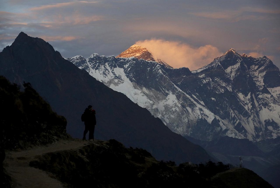
Nepal survey officials install GPS device on Everest summit
Published On: May 23, 2019 08:22 AM NPT By: Republica | @RepublicaNepal
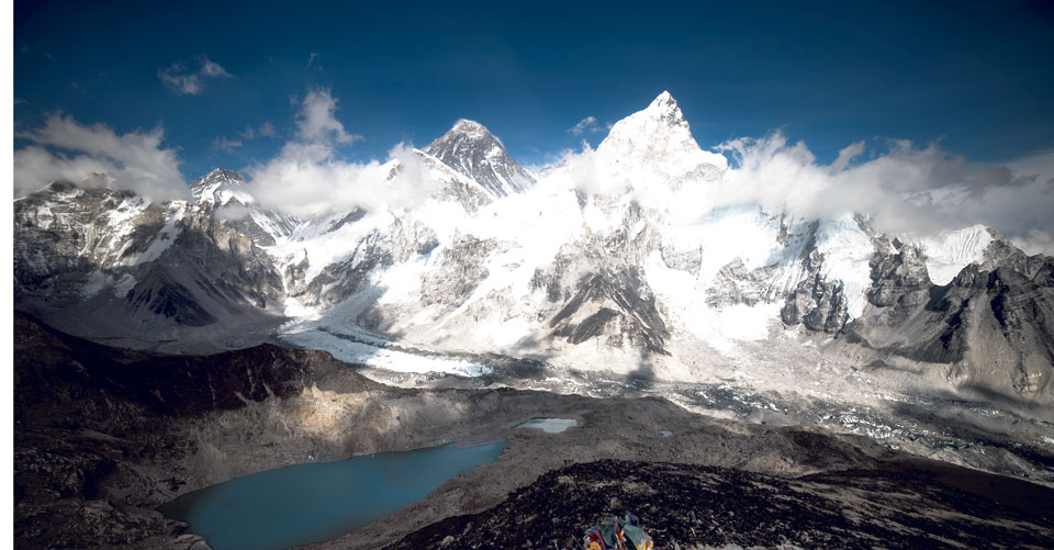
Photo: Republica/Files
KATHMANDU, May 23: Nepal’s bid to settle the dispute surrounding the height of the world’s highest peak, Mount Everest, has achieved an important milestone with the successful ascent of the peak by a team of survey officials in the wee hours of Wednesday.
Officials at the Department of Survey said the summit is a step closer to the Herculean task of measuring the height of Mount Everest.
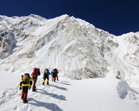
According to the authorities at the Department of Tourism, the Nepali survey team comprising of four officials with high-tech GPS device known as Trimble R10 made it to the top of Mount Everest at 3:15 am. The team members stayed at the summit for about half an hour to install and activate the device to collect precise data on that particular point on the planet.
The survey team is now on its way back to the base camp after completing the Everest measurement works that lasted for half an hour, according to Director at the Department of Tourism Meera Acharya.
The height of Mount Everest has courted controversy ever since the peak was measured by an Indian survey team for the first time in 1855. The Indian team in 1956 had concluded the height of Mount Everest to be 8,848 meters, which is widely accepted till date.
The Department of Survey decided to measure the height of Mount Everest amid conflicting claims about its height by Chinese and American surveyors. While China has maintained that the height of Mount Everest is 8,844.43 meters, an American team that used GPS technology to measure the height in 1999 claimed that the height of Mount Everest is actually 8,850 meters.
Nepal’s bid to take fresh measurement of Mount Everest also comes in the wake of speculations that the height of Mount Everest had shrunk following the devastating earthquakes of 2015.
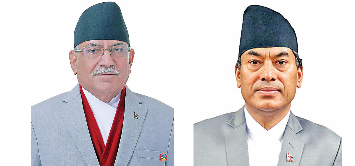
The expedition team assigned by the government had left for Mount Everest on April 10 to collect new data about the height of the world’s highest peak. Prime Minister KP Oli had bid farewell to the four members of the expedition team including Khimlal Gautam, Rabin Karki, Suraj Singh Bhandari and Yuvaraj Dhital amidst a function held at the Prime Minister’s Official Residence in Baluwatar.
This is the second time survey official Gautam, who headed the government expedition team, has scaled Mount Everest. Gautam was also among the members of Nepal Civil Servants First Mount Everest Expedition in 2011.
The initiative to take fresh measurement of Mount Everest was made by then Director General of the Department of Survey Ganesh Prasad Bhatta, while incumbent Director General of the survey department Prakash Joshi supported the final push of the mission.
Former deputy director general of the department Niraj Manandhar had established the methodology for the measurement. An international conference participated by various countries was then organized in Kathmandu for necessary feedback and suggestions, which were subsequently incorporated in the methodology.
Former Deputy Director General of the Department of Survey Suresh Man Shrestha, who directly oversaw the process until his recent retirement, said it will take some time to process the data.
“The data has been collected. But there is a lot more to be done before the result is announced. Upcoming few months will be very critical for this mission,” he said.
The Department of Survey is collecting four sets of data including precise leveling, trigonometric leveling, gravity survey and GNSS Survey to determine the exact height of Mount Everest. Once the exact measurement of Mount Everest is determined, the Department of Survey plans to host another international seminar and share its findings with survey experts from various countries to validate the measurement by the end of December this year.
Government officials said Indian Survey Department had assisted Nepal in carrying out precise leveling from the sea level. The Chinese side has also promised to assist in carrying similar leveling from its side of the border.
Considering Madar of Siraha as the basis of national point, the Survey Department has set up various 12 different observation stations around Mount Everest.
You May Like This
Deadly dreams: Record Everest season among most dangerous
KATHMANDU: Scaling Mount Everest is always dangerous, but expedition organizers have warned that a combination of extreme weather, corner-cutting on... Read More...

VIDEO STORY: Nepal’s ‘snow leopard’ Ang Rita Sherpa: From a porter to a legendary climber
Ang Rita Sherpa, the only person to conquer Mount Everest 10 times without supplemental oxygen, was born on July 27,... Read More...
Lessons from Everest's Sherpas could aid intensive care treatment
A research expedition to Mount Everest has shed light on the unique physiological basis of adaptations seen in the native... Read More...


Just In
- CM Kandel requests Finance Minister Pun to put Karnali province in priority in upcoming budget
- Australia reduces TR visa age limit and duration as it implements stricter regulations for foreign students
- Govt aims to surpass Rs 10 trillion GDP mark in next five years
- Govt appoints 77 Liaison Officers for mountain climbing management for spring season
- EC decides to permit public vehicles to operate freely on day of by-election
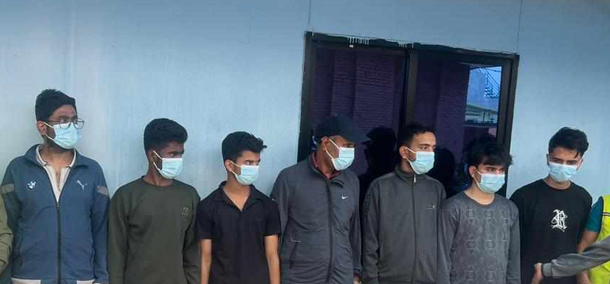
- Fugitive arrested after 26 years
- Indian Potash Ltd secures contract to bring 30,000 tons of urea within 107 days
- CAN adds four players to squad for T20 series against West Indies 'A'
Leave A Comment