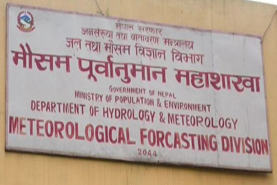
In their early forecasting bulletin published on June 1, the meteorologists at the Meteorological Forecasting Division (MFD) had predicted the timely arrival of monsoon in Nepal. However, as the westerly winds continue to dominate the country´s atmosphere, the monsoon clouds still hover over the sky of South India. This year´s monsoon had hit Kerala, the southern state of India, on May 31. [break]
In spite of timely arrival of monsoon in the Indian sub-continent, it failed to reach Nepal on time due to the obstruction created by the westerly winds. However, the meteorologists maintain that monsoon is still “favorable” for Nepali farmers.
“Monsoon did not become active on June 10 as per our prediction,” Senior Meteorologist Rajendra Shrestha said. “But it will come within the second week of June.”
Normally, the monsoon clouds enter Nepal from the Bay of Bengal in the second week of June and retreats in the third week of September. In the last three decades, MFD has recorded the most delayed monsoon in 1982, when it became active only on 27 June. Likewise, the earliest monsoon was recorded in 1996, when it lashed the country on May 31.
The Nepali farmers, bereft of irrigation facilities, are largely dependent on monsoon for cultivating their crop fields.
As the dominance of the westerly winds keeps the easterly winds at bay, the temperature of the Kathmandu valley has consistently remained high. According to Shrestha, the delay in the arrival of the eastern winds, which carry a lot of moisture, has made the sky clear and blue.
“The westerly winds, which are dry and do not carry moisture, has blocked the eastern winds,” he said. “Hence, the mercury is up, and the overall atmosphere is getting hotter.”
On Thursday, while the valley´s maximum temperature was 32.9 degree Celsius, minimum temperature was 18 degree Celsius. “The mercury will keep going up unless the dominance of the westerly winds weakens,” Shrestha told myrepublica.com.
Related story
Rainfall likely for next three days