Saturday, 27 July 2024 09:55 AM
OR
Login using
Ten new cities coming up along Hulaki highway
Published On: May 9, 2017 03:15 PM NPT
KATHMANDU , May 9: The government has brought a new concept aimed at building systematic cities in the Tarai-Madhes region.
Accordingly, the government is preparing to set up 10 new cities with the objective of expanding settlements alongside the Hulaki Rajmarga (postal highway) that is under construction in the Tarai-Madhes and promoting planned urbanization.
New cities to be constructed taking the Hulaki highway as the basis, the government believes, would lead to the expansion of settlements in a systematic way in the Tarai-Madhes region thereby discouraging the mad race towards construction of unplanned settlements in the area.
The Hulaki highway runs some 20 to 30 kilometres south, parallel to the East-West highway and it is an approach road connecting the districts of the Tarai Madhes. The Hulaki highway begins from Bhadrapur, the headquarters of Jhapa district in the east and stretches all the way to the far-western border with India in Kanchanpur district. This highway connects all the 20 districts of the Tarai. It is also considered the lifeline of the Tarai, the country's southern plain region, as it linksthe main towns and bazaars in the Tarai.
According to Minister for Urban Development Arjun Narsingh KC, the government plans to build 10 new cities within about three kilometres on both sides of the highway realizing the need to making the settlements alongside the highway systematic and well-planned.
"An integrated urban development plan would be prepared taking the 10 selected new settlements and municipalities as a block plan unit. Similarly, the urban infrastructure and development plan would be selected and provisions for allocating the budget for the development of these cities made from Fiscal Year 2017/18," Minister KC said.
Eleven indicators such as availability of land, population, population density, potentiality of economic development, contact zone, population involved in non-agro sector, availability of water resources, migration, situation of government facilities, literacy and access to road facilities are taken as bases for developing new cities. Of the selected areas for the development of new cities, two lie in Province 1.
The selected sites are Gaurigunj of Jhapa and Rangeli of Morang, Mahagadhimai of Bara, Ishwarpur of Sarlahi, Shambhunath of Saptari and Balwa and Sarpallo of Mahottari in Province 2. Likewise, Rajapur of Bardiya and Bardaghat of Nawalparasi in Province 5, and Belauri of Kanchanpur and Bhajani Trishakti of Kailali in Province 7 are the sites for the development of new cities.
The government has come up with the concept of developing cities around the postal highway and it is expected to be of help in reducing poverty and addressing the problem of the crisis of employment opportunities in the Tarai plains, according to Minister KC.
Four satellite cities in Kathmandu Valley
Likewise, the government is to develop four more cities inside the Kathmandu Valley to control the escalation of unsystematic settlement and systematize the Valley life.
The Cabinet meeting on Monday has decided to develop new cities in south-west, south-east and north-east and north-west part of Kathmandu Valley. Each new city would be built on 10 thousand ropanis of land.
The government will invest 10 billion rupees and private sector will invest 40 billion rupees within upcoming five years for the new project.
Minister KC shared that government has forwarded the concept of 'smart city' after managing the integrated land plot for the same.
One hundred thousand ropani of land will be allocated for the physical development project in the valley. The new concept will encompass area from the main road to Sankhu from Mulpani Cricket Pitch and Sali River Bridge to Kharipati via Telkot.
Similarly, the project will cover Mulpani adjoining Tikhalapakhe, Bode, Manohara Bridge while excluding Nepal Army Barracks, Kharipati.
The second smart city as per the government's plan will link the foot of a forest in Suryabinayak, Balkot and Kaushaltar in Bhaktapur, Lamatar river in Lalitpur and the Araniko Highway. To be spread on 10 thousand ropanis of land, the city will be developed as second satellite city according to the plan.
In the process, all areas of Gundu, Balkot and Dadhikot in Bhaktapur will be covered. The government is preparing to adopt public-private partnership concept for the project, said Minister KC. The plan was initiated to check haphazard construction of high-rise buildings and make city areas clean and beautiful, Minister KC said.
The action plan has adopted the city development strategy and UN Habitat concept also with the motive to manage areas outside the ring road in a systematic way, he added. RSS
You May Like This

Forest encroachment rampant along Hulaki highway
KOHALPUR, Dec 18: The forest cover along the Nepalgunj - Baghauda section of the Hulaki highway is fast disappearing. Instead, small... Read More...
Hulaki Highway construction in limbo
BARDIYA, July 7: Krishna Sigdel of Madhuwan Municipality was going back home from the district headquarters, Gulariya, on Wednesday evening. His... Read More...
Police raid restaurants and guest houses along Araniko highway
BHAKTAPUR, Dec 24: The Metropolitan Police Circle – Jagati on Friday evening raided restaurants and guest houses for running flesh... Read More...
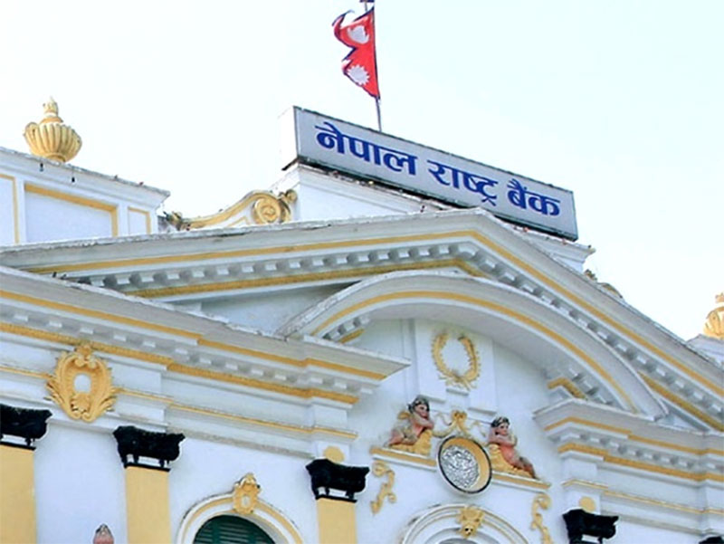
NRB unveils monetary policy
20 hours ago


NRB set to issue monetary policy today
22 hours ago

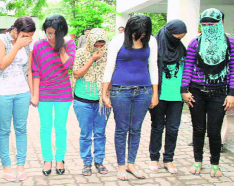
Girl found unconscious at Gwarko guest house dies
23 hours ago
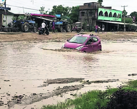
Heavy rainfall likely in Bagmati and Sudurpaschim provinces
23 minutes ago
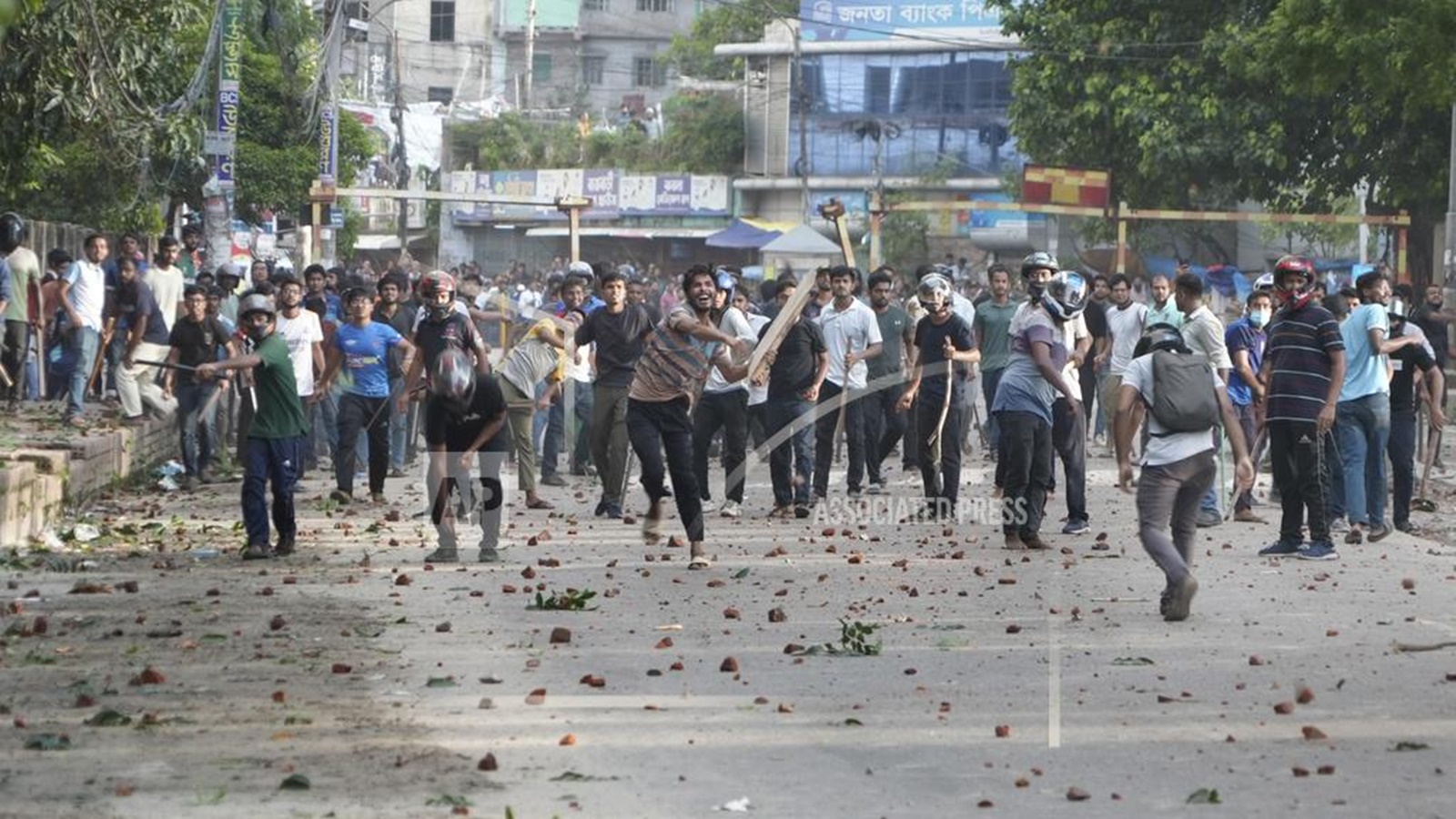
Bangladesh protest leaders taken from hospital by police
25 minutes ago
Challenges Confronting the New Coalition
1 hour ago
NEB to publish Grade 12 results next week
12 hours ago
Just In
- Heavy rainfall likely in Bagmati and Sudurpaschim provinces
- Bangladesh protest leaders taken from hospital by police
- Challenges Confronting the New Coalition
- NRB introduces cautiously flexible measures to address ongoing slowdown in various economic sectors
- Forced Covid-19 cremations: is it too late for redemption?
- NRB to provide collateral-free loans to foreign employment seekers
- NEB to publish Grade 12 results next week
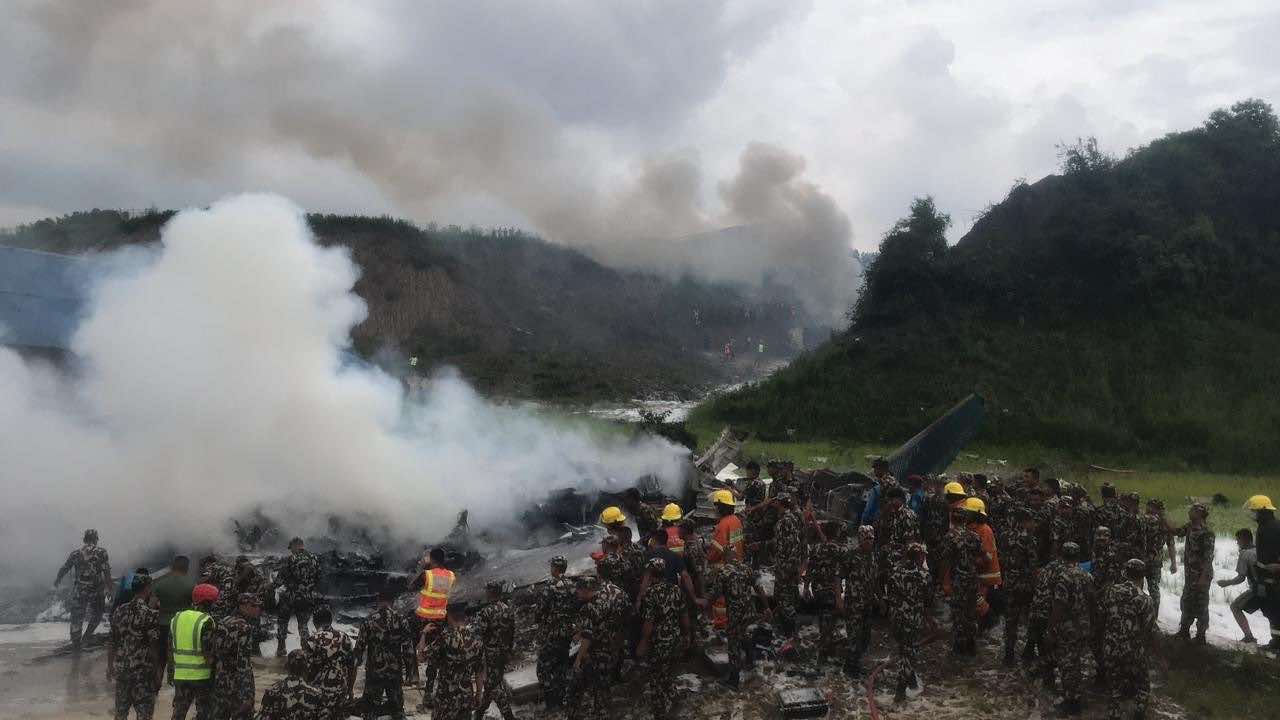
- Body handover begins; Relatives remain dissatisfied with insurance, compensation amount
Leave A Comment