Saturday, 27 July 2024 06:08 AM
OR
Login using
National Assembly unanimously endorses the national emblem having Nepal's new map
Published On: June 18, 2020 01:36 PM NPT By: Republica | @RepublicaNepal
National emblem of Nepal.
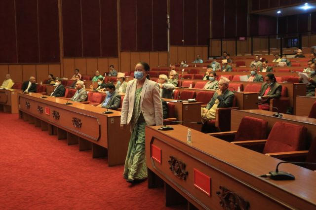
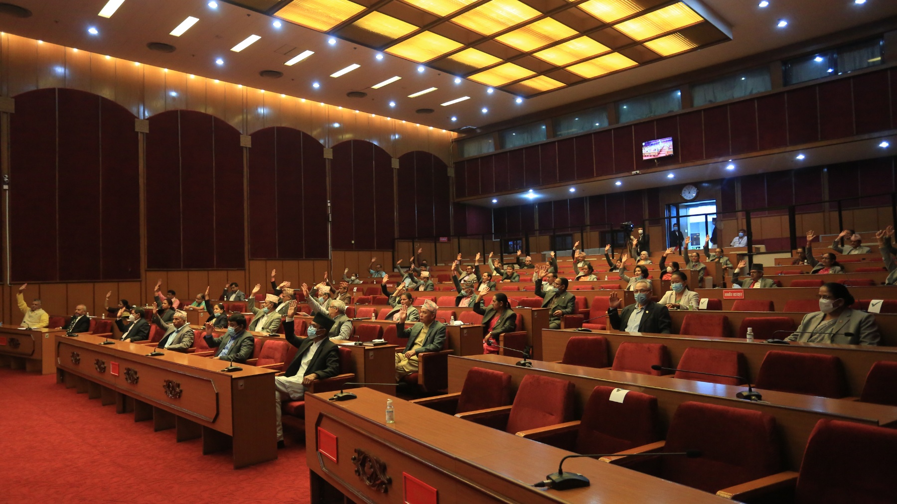
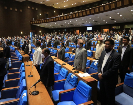
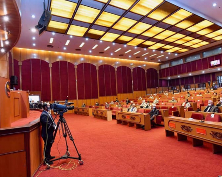
KATHMANDU, June 18: Five days after its unanimous endorsement from the House of Representatives (HoR), the National Assembly on Thursday unanimously endorsed the constitution amendment bill to pave the way for replacing Nepal’s map in the national emblem with the country’s new political and administrative map that includes Kalapani, Lipu Lekh and Limpiyadhura.
A total of 57 of the 58 lawmakers present in the Upper House voted in favor of the amendment bill, according to National Assembly Chairman Ganesh Prasad Timilsina. Lawmakers belonging to the ruling Nepal Communist Party (NCP), the main opposition party, Nepali Congress, and Janata Samajbadi Party are represented in the upper house.

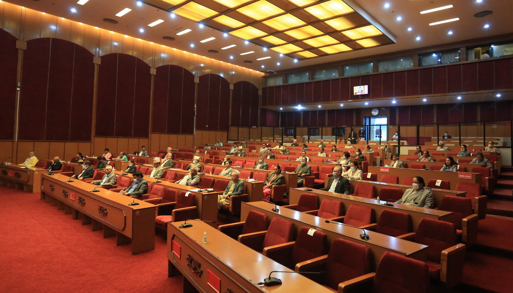
Earlier at the beginning of the meeting, Minister for Law, Shiva Maya Tumbahangphe had presented a proposal to endorse the bill. Lawmakers had taken part in the discussion why the Bill deserved to be passed unanimously.
A notice of the endorsement made by the National Assembly will now be given to the House of Representatives that endorsed the bill unanimously on June 12. All political parties including the ruling NCP, the main opposition party, Nepali Congress (NC), Janata Samajbadi Party and Rastriya Prajatantra Party (RPP) represented in the lower house of the federal parliament had voted in favor of the amendment bill.
The bill endorsed by both the houses will now be sent to President Bidya Devi Bhandari for authentication. The government will start putting a new political map of Nepal in the country's national emblem once it is authenticated by President Bhandari.
President Bidhya Devi Bhandari is likely give her assent to the constitution amendment bill later today, sources said.
A Cabinet meeting held on May 18 had endorsed the new political map that includes Kalapani, Lipu Lekh, and Limpiyadhura that have been controlled by India since the 1960s. The Ministry of Land Management had officially made the new map public two days later.
Nepal’s decision to endorse the new political map came after India unilaterally built and inaugurated a link road that passes through the Nepali territory earlier in March. Nepal was dismayed by the Indian side as New Delhi continued construction works and even stationed its army despite the fact that both the countries recognized that there was outstanding boundary issue in the region and agreed to resolve the issue through talks.
Nepal has maintained that Kalapani, Lipu Lekh and Limpiyadhura belong to Nepal as per the relevant treaties and agreement that Nepal reached with the East-India Company. The Sugauli Treaty reached between India and Nepal in 1816 that defines Nepal’s western boundary with India clearly states that the territories that lie east of the Kali River belong to Nepal.

You May Like This
House of Representatives set to endorse constitution amendment bill today
KATHMANDU, June 13: The House of Representatives (HoR) is all set to endorse the constitution amendment bill today to pave... Read More...
PM Oli vows to retrieve Nepali territories encroached upon by India
KATHMANDU, Jan 10: Prime Minister KP Sharma Oli has vowed to retrieve the Nepali territories of Kalapani, Limpiyadhura and Lipulekh... Read More...
Indian Army chief's controversial remark on Lipu Lekh faces sharp criticism in Nepal
KATHMANDU, May 15: Indian Army Chief General MM Naravane on Friday accused Nepal of raising the Lipu Lekh issue at... Read More...

Ensuring Food Safety Amidst Challenges
21 hours ago
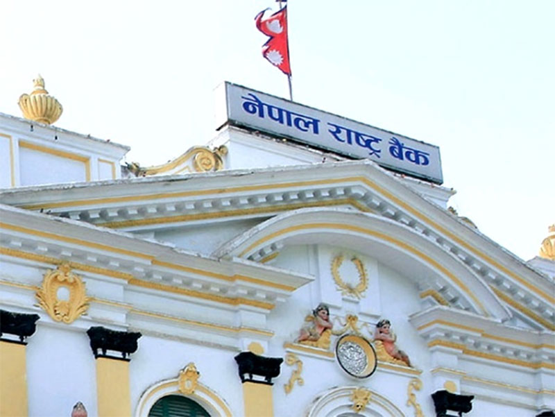
NRB unveils monetary policy
16 hours ago


NRB set to issue monetary policy today
18 hours ago
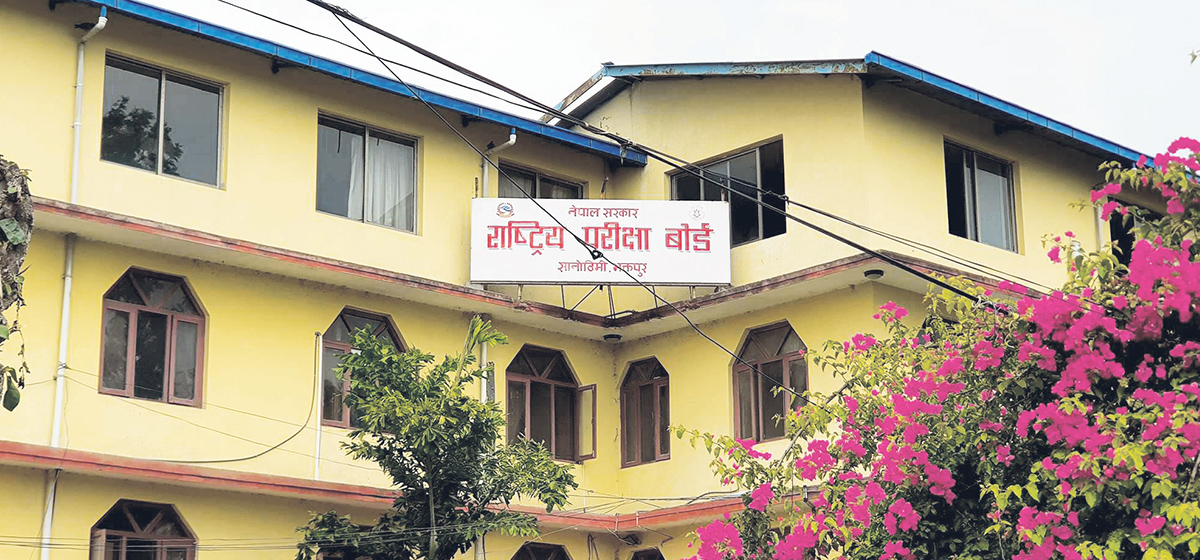
NEB to publish Grade 12 results next week
8 hours ago
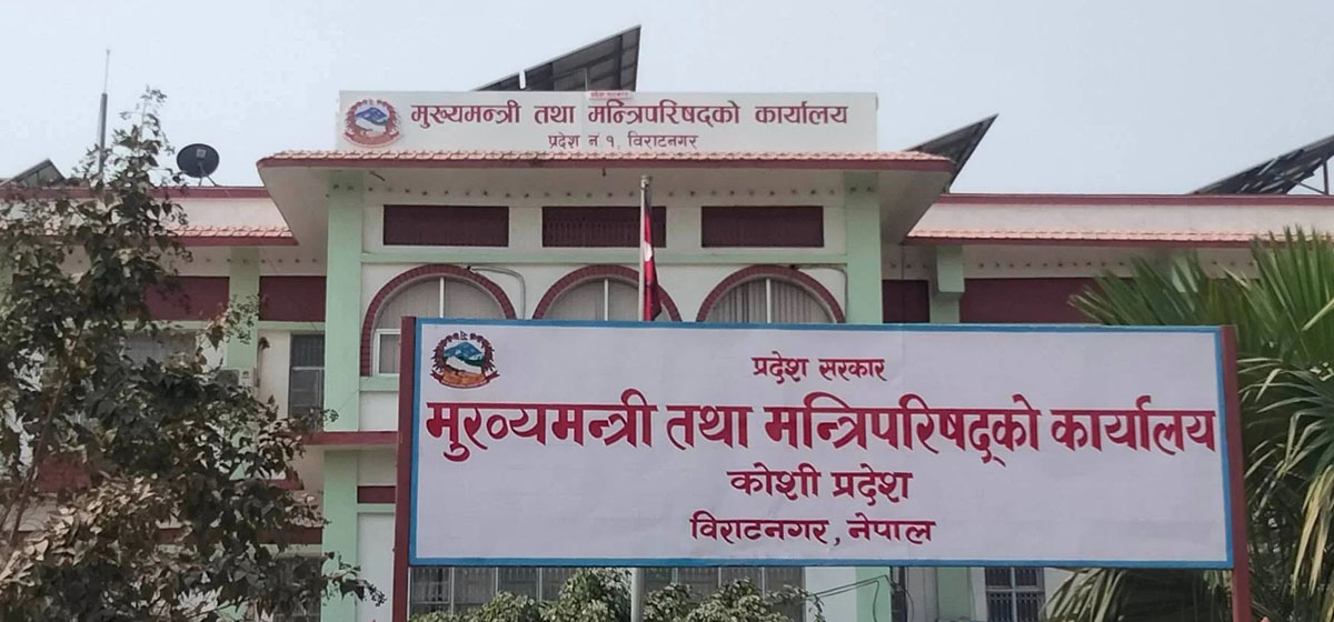
NC defers its plan to join Koshi govt
10 hours ago

NRB to review microfinance loan interest rate
10 hours ago


Just In
- NRB to provide collateral-free loans to foreign employment seekers
- NEB to publish Grade 12 results next week
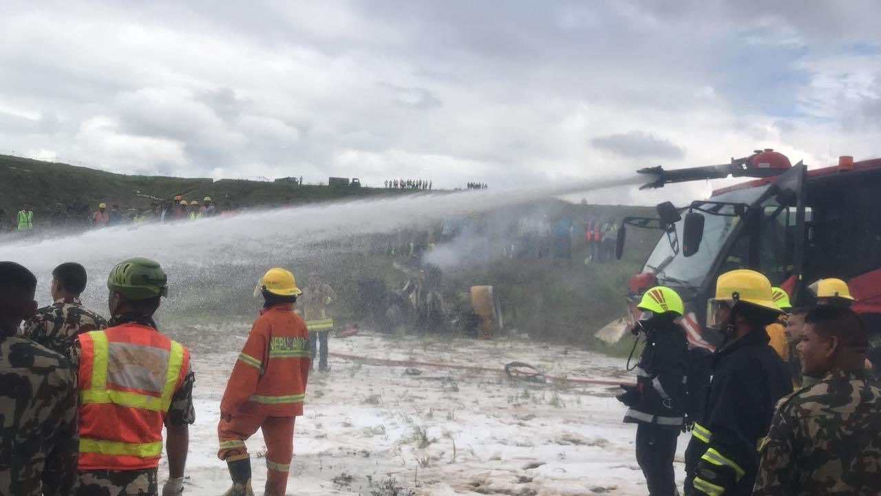
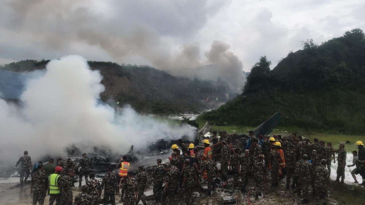
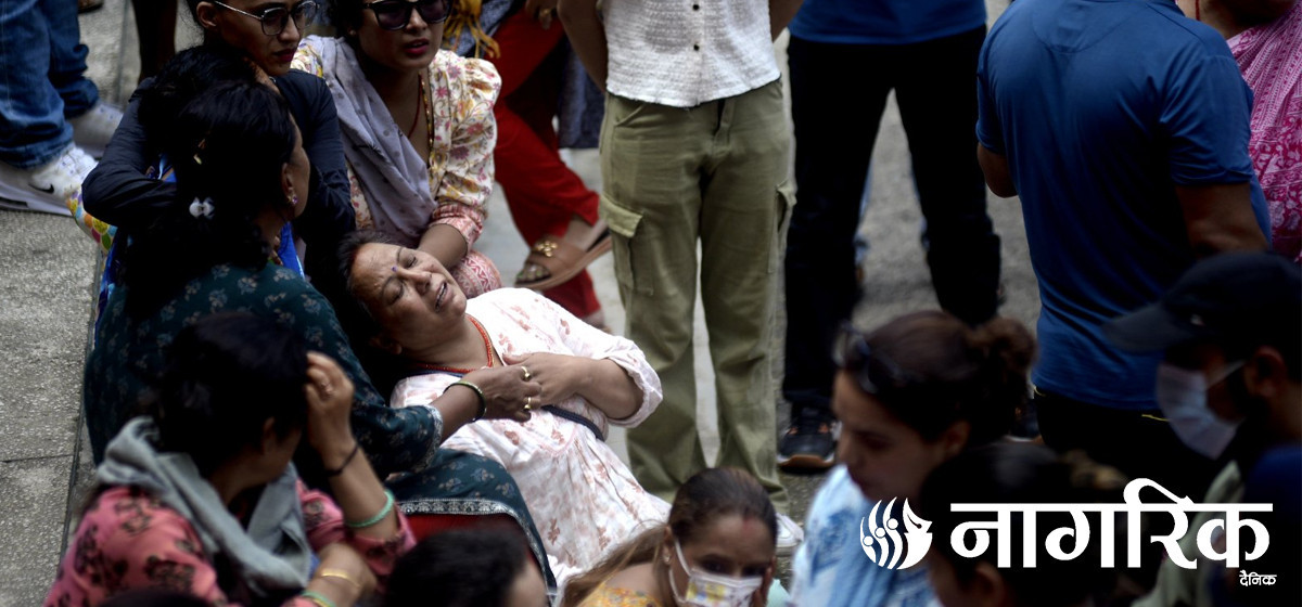
- Body handover begins; Relatives remain dissatisfied with insurance, compensation amount
- NC defers its plan to join Koshi govt
- NRB to review microfinance loan interest rate
- 134 dead in floods and landslides since onset of monsoon this year
- Mahakali Irrigation Project sees only 22 percent physical progress in 18 years
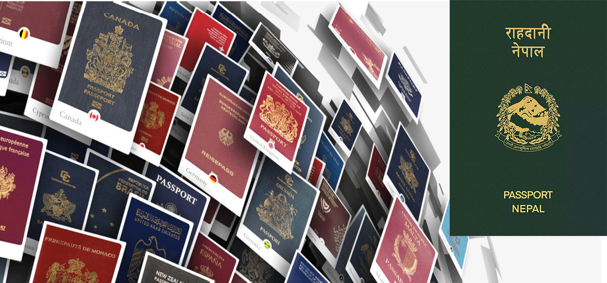
- Singapore now holds world's most powerful passport; Nepal stays at 98th
Leave A Comment