KATHMANDU, August 23: Last week when almost all the southern plains of Nepal were hit by incessant downpours, employees at the Flood Forecasting Section of the Department of Hydrology and Meteorology (DHM) were busier than ever. They had a very technical and complex job of forecasting the flood and issuing detailed warning leading to timely evacuations, upon which fate of thousands of lives depended.
The flood forecasting section has around 40 water level measurement stations installed at the country's major rivers, including Karnali, Babai, Rapti, Mahakali, Narayani, Kankai and Koshi, according to DHM's officials. But only 35 of them are functional at the moment.
Each station is equipped with staff gauge and sensors and measures the water level and transmits real time data to data logger of its own station. The data loggers act as communication module and have sim cards to transmit the data to the central server via telephone towers, according to hydrologist Rudra Pariyar of DHM's data section.
Inside the Flood Forecasting Section: How timely forecast could...

“We analyze the data received by the central server, verify it, analyze it again and evaluate it to ensure accuracy. We also establish relationship between river water level and river discharge. This would eventually help to make critical flood forecasts later,” said Pariyar.
Rajendra Sharma, chief of the Flood Forecasting Section, said predicting the floods and sending warnings to areas at risk is not an easy job. “Before making a forecast, we continuously monitor river hydrology, climate, agro-meteorology, rainfalls, wind direction and various other factors. We make forecast only after putting into considerations all factors. If the forecast depicts a likelihood of floods, only then would we issue warnings in places that are likely to be affected.”
“When the central server receives data warning that critical water level in rivers has reached, we receive warnings through sirens in our office. During events of incessant rainfalls, our office is constantly blaring with sirens to alert us, following which we take necessary steps to verify and disseminate the information to the public and the authorities like National Emergency Operation Center, District Emergency Operation Center and Ministry of Information and Communication,” said Sharma.
He further added that the office immediately sounds sirens to alert the locals living around the flood-risk areas, which gives them plentiful time to take precautionary measures and evacuate to safer areas.
According to him, flood forecasting section also alerts the locals living in flood-risk areas by sending mass SMSs when river water reaches the dangerous level. However, the effectiveness of mass SMSs, toll free numbers, and posting information in DHM's website could not be determined as the locals might not utilize it always.
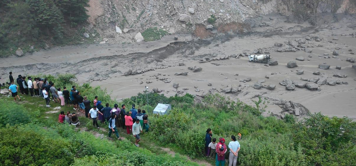
In a recent interview with Republica, Sharma claimed that they were able to predict incessant rainfalls that started on August 11 two days in advance. Yet, the monsoon-triggered catastrophe killed around 120 people in the tarai and displaced thousands. Sharma said they failed to inform the people in places without hydrological stations and said lack of coordination among line agencies also contributed to higher death tolls.
“As the incessant rainfall triggered floods in many areas at once, our limited resources and system could not handle it, affecting the information dissemination process,” he said. He further added that they do not have water level measurement systems in khahare rivers, due to which they could not warn settlements around it, leading to incurring huge casualties of lives and properties.
In the aftermath of major disasters in Nepal, one of the key questions is whether the emergency services could have responded faster and better. While the officials concerned insist their response has been effective, there has been a string of criticism from the general public and victims which suggests otherwise.


