Saturday, 27 July 2024 09:15 AM
OR
Login using
India's MEA reiterates its position on Nepal's new political map
Published On: June 18, 2020 06:15 PM NPT By: Republica | @RepublicaNepal

India's Ministry of External Affairs
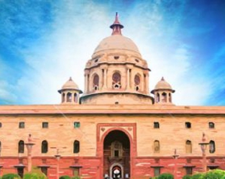
KATHMANDU, June 18: Hours after Nepal's National Assembly unanimously endorsed the constitution amendment bill to pave the way for replacing Nepal’s map in the national emblem with the country’s new political and administrative map that includes Kalapani, Lipu Lekh and Limpiyadhura, India's Ministry of External Affairs (MEA) said that it has "noted" the development.
"We have already made clear our position. We have noted the development. I don't have anything further to add," Anurag Srivastava, the spokesperson for the MEA, told a daily press briefing on Thursday.
Earlier on June 13, the MEA said that “Nepal’s claim is not based on historical evidence.”
A total of 57 of the 58 lawmakers present in the Upper House voted in favor of the amendment bill, according to National Assembly Chairman Ganesh Prasad Timilsina. Lawmakers belonging to the ruling Nepal Communist Party (NCP), the main opposition party, Nepali Congress, and Janata Samajbadi Party are represented in the upper house.
The bill endorsed by both houses will now be sent to President Bidya Devi Bhandari for authentication. The government will start putting a new political map of Nepal in the country's national emblem once it is authenticated by President Bhandari.
A Cabinet meeting held on May 18 had endorsed the new political map that includes Kalapani, Lipu Lekh, and Limpiyadhura that have been controlled by India since the early 1960s. The Ministry of Land Management had officially made the new map public two days later.
Nepal’s decision to endorse the new political map came after India unilaterally built and inaugurated a link road that passes through the Nepali territory earlier in March. Nepal was dismayed by the Indian side as New Delhi continued construction works and even stationed its army despite the fact that both the countries recognized that there was outstanding boundary issue in the region and agreed to resolve the issue through talks.
Nepal has maintained that Kalapani, Lipu Lekh and Limpiyadhura belong to Nepal as per the relevant treaties and agreement that Nepal reached with the East-India Company. The Sugauli Treaty reached between India and Nepal in 1816 that defines Nepal’s western boundary with India clearly states that the territories that lie east of the Kali River belong to Nepal.
You May Like This
Amid India-Nepal diplomatic standoff over India's unilateral road construction in Nepali territory, Indian Congress calls for dialogue between two countries
KATHMANDU, June 12: At a time when the Modi-led Indian government is ignoring Nepal's repeated calls for holding talks on... Read More...
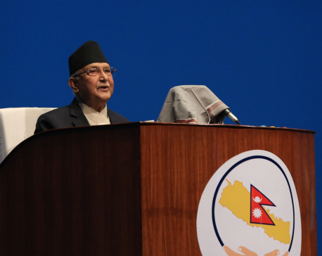
India encroaching Nepali territory by stationing its army in Kalapani region: PM Oli
KATHMANDU, June 10: Prime Minister K P Oli has said that India has encroached Nepali territory by stationing its army... Read More...
India says it will not accept Nepal's 'artificial enlargement of territorial claims'
KATHMANDU, May 20: In its first official reaction to the move of Nepal to introduce new political map that includes... Read More...
NRB unveils monetary policy
19 hours ago


NRB set to issue monetary policy today
21 hours ago


Girl found unconscious at Gwarko guest house dies
22 hours ago
Challenges Confronting the New Coalition
20 minutes ago

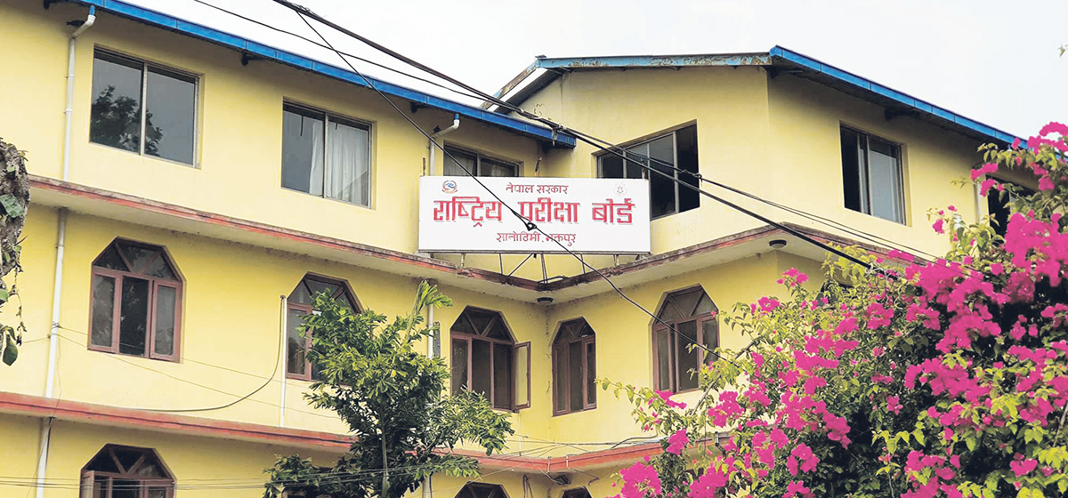
NEB to publish Grade 12 results next week
11 hours ago
NC defers its plan to join Koshi govt
13 hours ago
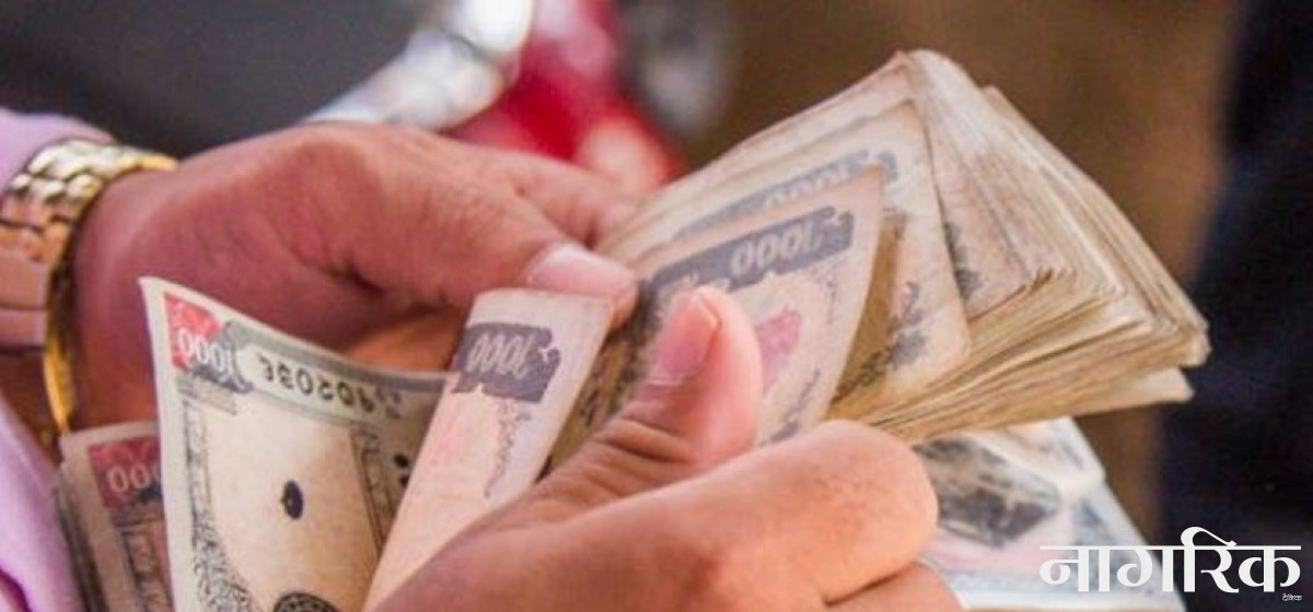
NRB to review microfinance loan interest rate
13 hours ago
Just In
- Challenges Confronting the New Coalition
- NRB introduces cautiously flexible measures to address ongoing slowdown in various economic sectors
- Forced Covid-19 cremations: is it too late for redemption?
- NRB to provide collateral-free loans to foreign employment seekers
- NEB to publish Grade 12 results next week
- Body handover begins; Relatives remain dissatisfied with insurance, compensation amount
- NC defers its plan to join Koshi govt
- NRB to review microfinance loan interest rate
Leave A Comment