Saturday, 20 April 2024 02:20 AM
OR
Login using
New Delhi-Kathmandu diplomatic standoff
India says it will not accept Nepal's 'artificial enlargement of territorial claims'
Published On: May 20, 2020 11:53 PM NPT

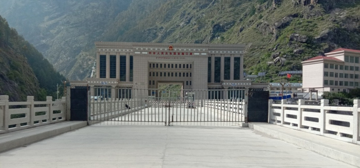
KATHMANDU, May 20: In its first official reaction to the move of Nepal to introduce new political map that includes Kalapani, Lipu Lekh and Limpiyadhura, India has said it will not accept the 'artificial enlargement of territorial claims'.
Official Spokesperson of Indian Ministry of External Affairs (MEA) Anurag Srivastava said the 'unilateral' act of Nepal is not based on historical facts and evidences. "It is contrary to the bilateral understanding to resolve the outstanding boundary issues through diplomatic dialogue," he said.
The reaction comes in the wake of Nepal officially releasing new political map of Nepal that includes territory currently controlled by India. Although Indian side claims that Kalapani, Lipu Lekh and Limpiyadhuara are its territory, Nepal has said that Indian side had encroached Nepali territory without any grounds since 1962.
Addressing the parliament on Tuesday, Prime Minister KP Oli said that Kalapani, Lipu Lekh and Limpiyadhura are indisputably Nepali territories which were made to look like disputed ones after the Indian army occupied them without any grounds in 1962.
Prime Minister Oli said that the Nepali side used to collect taxes, conduct census and issue land registration certificates to the residents in the villages now controlled by India until 1962. "But we were later blocked even to go there. We were blocked from going to the territory west of Kalapani after the Indian army was stationed there in 1962," he said.
Sugauli Treaty reached between Nepal and then East-India Company in 1816 has determined the River Kali as the western boundary of Nepal with India. Kalapani, Lipu Lekh and Limpiyadhuracontrolled by Indian side since 1962 lie to the east of River Kali, justifying Nepal's legitimate claim over these territories.
MEA Spokesperson Srivastava said India urges the Government of Nepal to refrain from what he said 'unjustified cartographic assertion' and respect India’s sovereignty and territorial integrity. "We hope that the Nepalese leadership will create a positive atmosphere for diplomatic dialogue to resolve the outstanding boundary issues," he further said.
Nepal has complained that Indian side continued its unilateral activities in these territories despite the fact that both Nepal and India have recognized this time and again and even agreed to resolve matters through the foreign secretary-level mechanism during the third meeting of the Joint Commission (JC) – a bilateral mechanism mandated to review all aspects of bilateral relations – held in 2014. These issues have been reiterated on a number of occasions including in joint statements issued by the two countries in the past.
Earlier last week, Nepal strongly objected the inauguration of a link road by India that passes through Lipu Lekh, asking the Indian side not to carry out any activities inside the Nepali territory. In a press statement, the Ministry of Foreign Affairs (MoFA) reminded the Indian government that Nepal has consistently maintained that as per the Sugauli Treaty (1816), all the territories east of the Kali (Mahakali) River, including Limpiyadhura, Kalapani and Lipu Lekh, belong to Nepal.
The MoFA also said that this unilateral act to construct a link road through the Nepali territory runs against the understanding reached between the two countries including at the level of prime ministers that a solution to boundary issues would be sought through negotiation.
---
You May Like This
India's MEA reiterates its position on Nepal's new political map
KATHMANDU, June 18: Hours after Nepal's National Assembly unanimously endorsed the constitution amendment bill to pave the way for replacing... Read More...
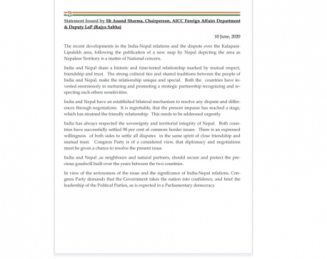
Amid India-Nepal diplomatic standoff over India's unilateral road construction in Nepali territory, Indian Congress calls for dialogue between two countries
KATHMANDU, June 12: At a time when the Modi-led Indian government is ignoring Nepal's repeated calls for holding talks on... Read More...
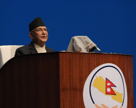
India encroaching Nepali territory by stationing its army in Kalapani region: PM Oli
KATHMANDU, June 10: Prime Minister K P Oli has said that India has encroached Nepali territory by stationing its army... Read More...

ACC Premier Cup semi-final: Nepal vs UAE
15 hours ago


850 grams of gold seized from Indian national at TIA
11 hours ago

Rain shocks: On the monsoon in 2024
18 hours ago

_20220508065243.jpg)

Just In
- MoHP cautions docs working in govt hospitals not to work in private ones
- Over 400,000 tourists visited Mustang by road last year
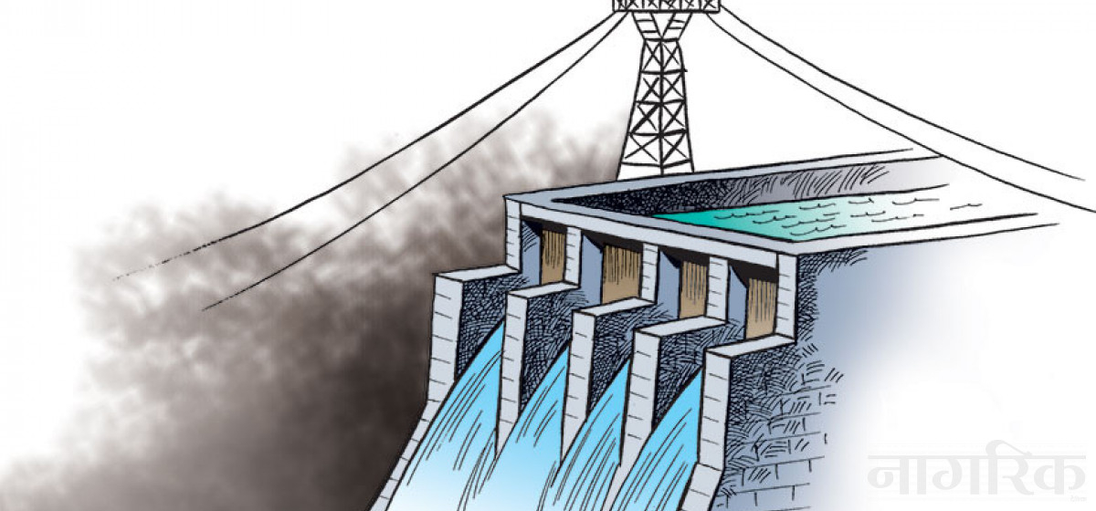
- 19 hydropower projects to be showcased at investment summit
- Global oil and gold prices surge as Israel retaliates against Iran
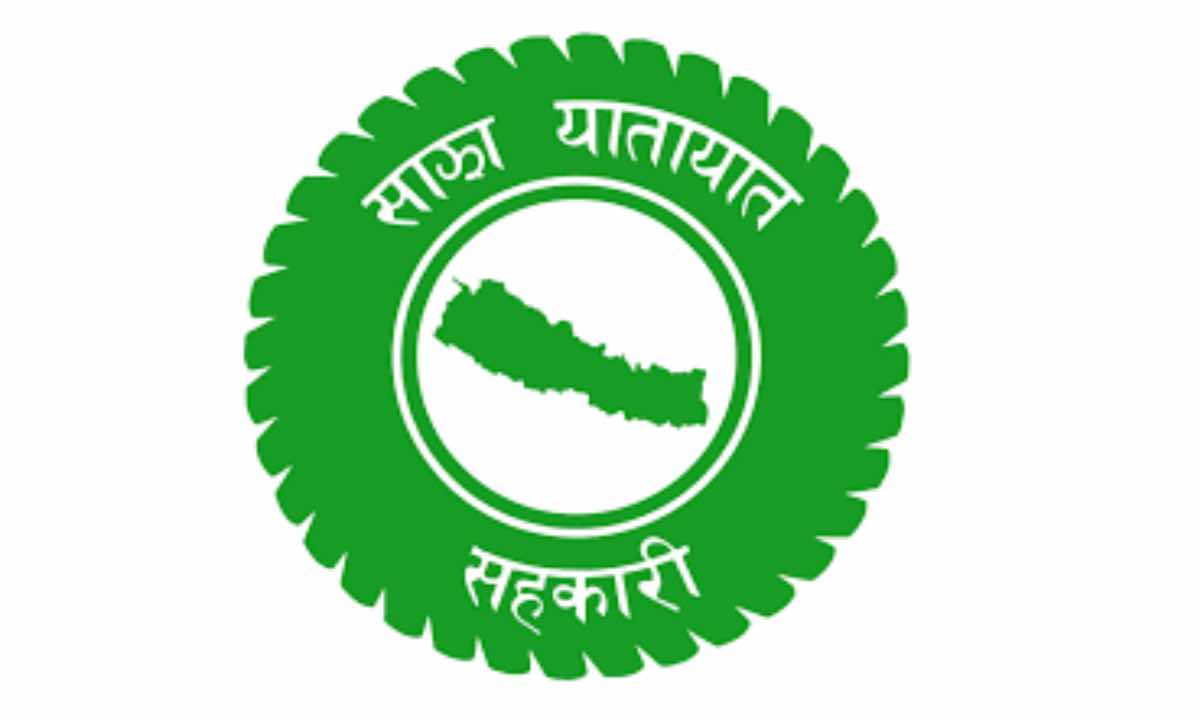
- Sajha Yatayat cancels CEO appointment process for lack of candidates
- Govt padlocks Nepal Scouts’ property illegally occupied by NC lawmaker Deepak Khadka
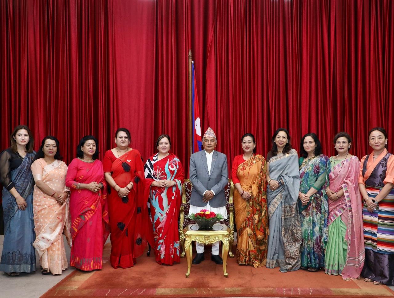
- FWEAN meets with President Paudel to solicit support for women entrepreneurship
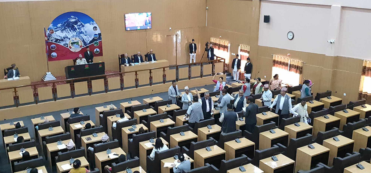
- Koshi provincial assembly passes resolution motion calling for special session by majority votes
Leave A Comment