KATHMANDU, Nov 8: Even as protests mount across the country against the inclusion of the Kalapani area in a newly released political map of India, the coat of arms used by several government offices in Nepal on their official websites appear to conform to the Indian version in this particular regard.
Experts have taken strong exception to some government offices using the coat of arms with a map of Nepal that does not conform strictly to the official map released by the Department of Survey (DoS). The official map released by the DoS includes Kalapani within Nepali territory, which is in line with Nepal’s long held position.
Former deputy director general of DoS Suresh Man Shrestha, who retired earlier this year, said the department had disseminated to all government ministries the official map of Nepal after finding that several of the offices were using unofficial maps. “Although some government offices made changes in accordance with our official map, there are still many using an incorrect map in the coat of arms displayed on their official websites and in other places,” Shrestha said.
Shrestha, who took some initiative to set things right when he was still in government service, expressed dismay over the lack of seriousness demonstrated by a number of government offices. “I think the offices concerned that still use the incorrect map are taking this issue very lightly,” he said.
Who is right, who is wrong on Nepal-India battle of maps?

DoS officials said there is a tendency to pick unofficial maps of Nepal from web sources that depict the Indian position on Kalapani and other territories belonging to Nepal. Republica has found that the coat of arms used on the Flickr page of the Ministry of Foreign Affairs (MOFA) also includes the incorrect map of Nepal.
A similar coat of arms is found to have been used by various other government offices on their official websites, including Nepal’s embassies in Australia and Qatar, the government’s ‘official portal’ (www.nepal.gov.np), and the Teachers’ Service Commission among others. “If we look at the official letter heads of various ministries, we may find many of them still using unofficial maps of Nepal therein,” said a senior official at DoS.
NC Prez Deuba draws attention of Indian envoy
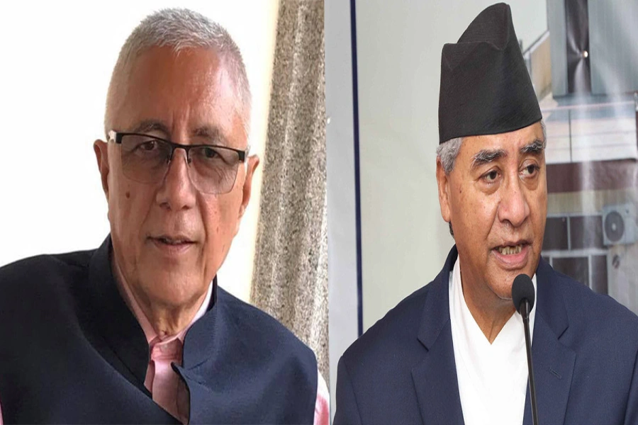
Main opposition party Nepali Congress President Sher Bahadur Deuba on Thursday drew the attention of Indian Ambassador to Nepal Manjeev Singh Puri to the newly released political map of India that shows the Kalapani area as Indian territory.
Talking to the ambassador over the phone, NC President Deuba said Kalapani and Lipu Lekh are integral parts of Nepal and the inclusion of Kalapani on the Indian side of the border in the newly released Indian political map had drawn the attention of his party.
NC, according to the party’s spokesperson Bishwa Prakash Sharma, has asked the government to forge consensus on the issue and resolve it through diplomatic channels once and for all.
New map in no manner revised Indian boundary with Nepal: India
A day after Nepal strongly objected to a recently-released Indian political map that placed the Nepali territory of Kalapani inside India, the Indian Ministry of External Affairs (MEA) on Thursday claimed that the map is accurate.
Responding to a query from journalists during a press meet held at the ministry, MEA Spokesperson Raveesh Kumar claimed that the Indian map accurately depicts the sovereign territory of India.
“The new map has in no manner revised our boundary with Nepal. The boundary delineation exercise with Nepal is ongoing under the existing mechanism,” he said.
The spokesperson also reiterated India’s commitment to finding a solution through dialogue in the spirit of close and friendly bilateral relations with Nepal. “At the same time, both countries should guard against vested interests trying to create differences between our two countries,” he added.
The remarks of the MEA spokesperson on the dispute over the political map came a day after Nepal said any unilateral decision to change border demarcations would be unacceptable. Issuing a press statement on Wednesday, MoFA maintained that all remaining outstanding boundary issues between the two countries should be resolved through mutual consensus.