Friday, 26 April 2024 08:31 AM
OR
Login using
Adoption of GIS tech helps boost GDP
Published On: April 19, 2017 11:30 PM NPT By: Republica | @RepublicaNepal

Agendra Kuwar is the president of Esri India that specializes on GIS technology. Kuwar was recently in Kathmandu to participate in the company’s first user conference in the city. Republica’s Prasansha Rimal caught up with Kuwar to talk about the company and its plans.
What is the vision of Esri India?
Esri India was established in 1996. It’s a joint venture between Esri Inc and NIIT Technologies limited. It has more than 5,000 customers in the country. Our technology has very high social impact.
Due to rapid transformation along with climate change, it becomes difficult to provide effective services to citizens so Esri’s vision to make sustainable development possible and easy.
What was the objective of the user conference in Kathmandu?
For the past 18 months, Nepal’s GDP has changed and implementation of policies by the government is taking place in a much effective way. Foreign investors are also interested in Nepal; and in this scenario of growth, technology like GIS can support that growth. It can enable people who are responsible for this growth to get more result in less time with less money. We wanted to encourage people to use this technology.
In which field is GIS technology mostly used in Nepal?
GIS technology is mostly used in agricultural, land resource management, climate management, sustainable development and educational institutes in Nepal.
How can Nepal use this technology to boost its GDP?
The Government of Nepal should adopt this technology. The state of Rajasthan had developed GIS application for various fields like education, development, health, citizen services and many more.
The application of GIS technology by the government will have a big impact and will also bring together private sector organizations, making coordination easy among different departments of the government which will push the country towards economic growth.
Please tell us about your collaborations in Nepal?
We have worked closely with the department of land. They have used our software to monitor land, for mapping and to generate analytical data. We are also trying to encourage telecom companies here to use the technology to make their services more user-friendly.
What are the major challenges in the field of GIS technology?
One of the major challenges in the field of GIS technology is unavailability of GIS-friendly. That’s why GIS technology should be included in school curriculum. Another challenge one would face is while converting data according to GIS format which needs to be constantly updated as GIS technology uses real time data.
You May Like This

User conference on GIS tech held
KATHMANDU, April 19: Esri India organized the first user conference in Kathmandu on Wednesday under the theme of “Geographical Information System... Read More...
Ropeway helps boost economy of remote hill villages
PALPA, Sept 15: Ropeway that connects Masyam-4, Charchare, Koldanda-8, and Khamauri of Palpa district has brought a huge change in the... Read More...

First meeting of Nepal-China aid projects concludes
19 hours ago

104 houses gutted in fire in Matihani (With Photos)
22 hours ago


Just In
- Navigating the Digital Diplomacy Divide: Balancing Tradition and Technology in Global Relations
- Youth attempts suicide amid police torture over Facebook comments against home minister
- Time to declare EVMs’ end
- World Malaria Day: Foreign returnees more susceptible to the vector-borne disease
- MoEST seeks EC’s help in identifying teachers linked to political parties
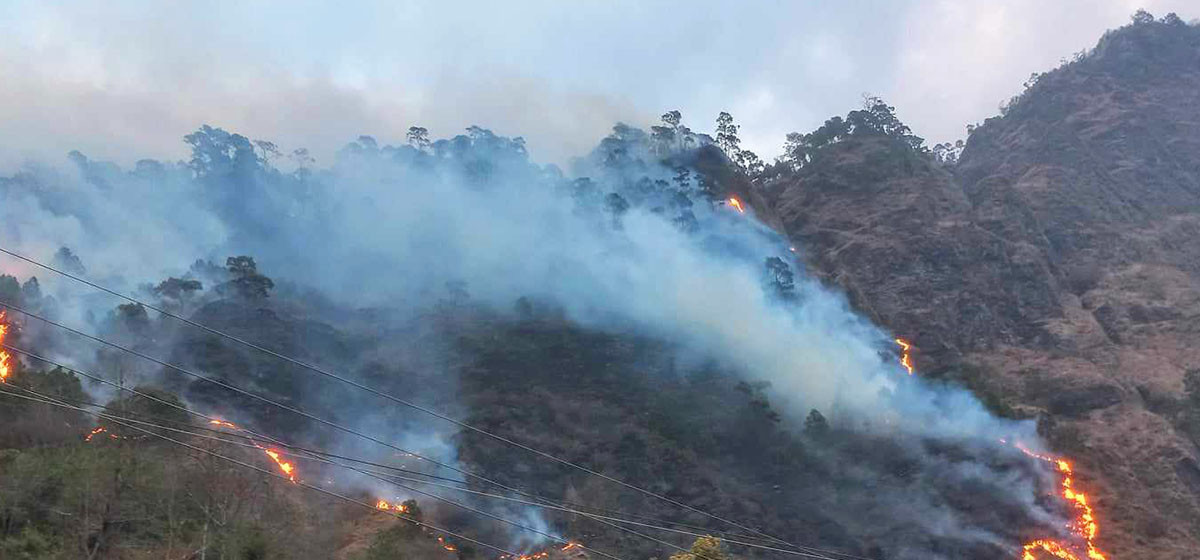
- 70 community and national forests affected by fire in Parbat till Wednesday
- NEPSE loses 3.24 points, while daily turnover inclines to Rs 2.36 billion
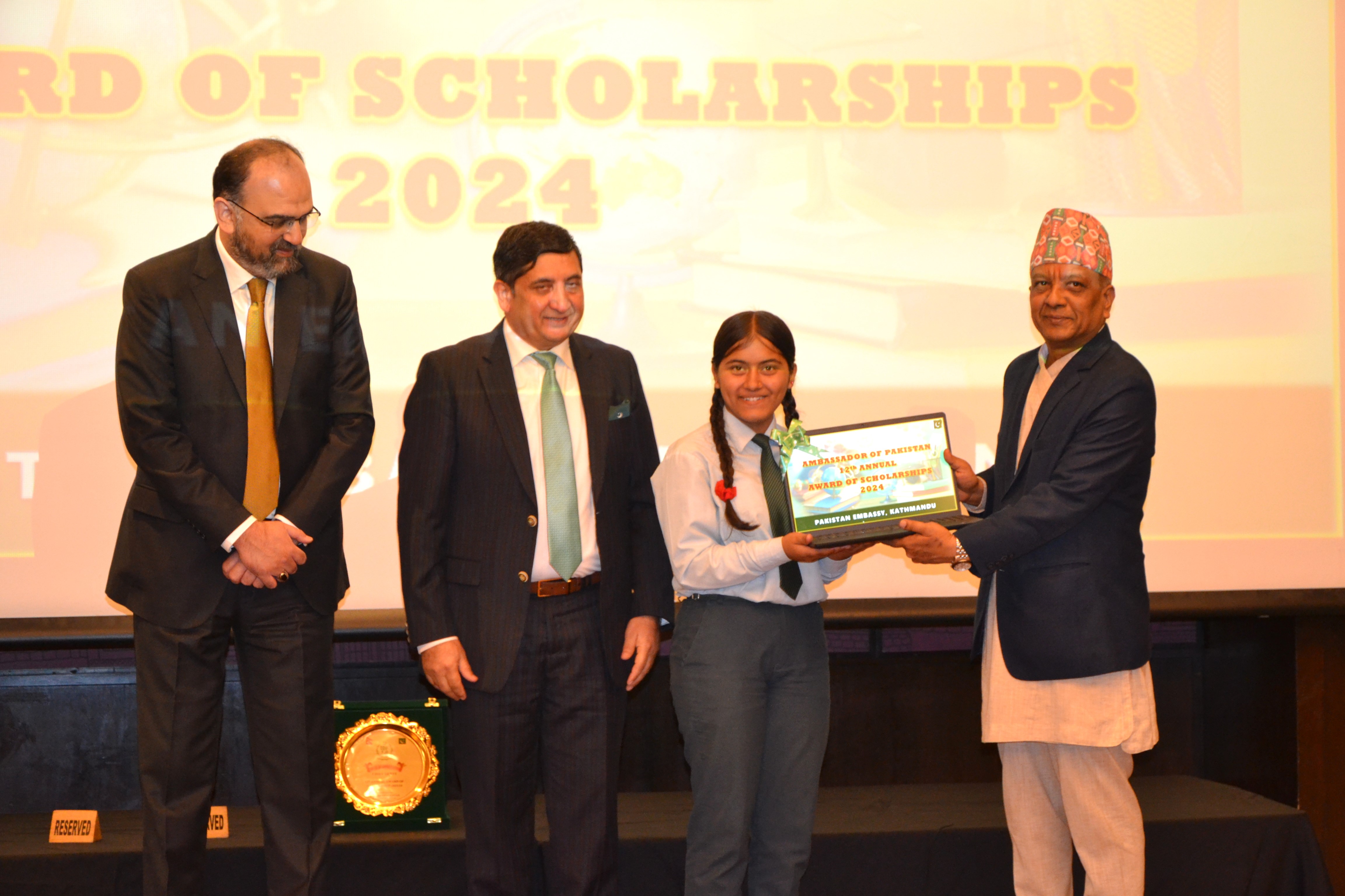
- Pak Embassy awards scholarships to 180 Nepali students
Leave A Comment