

KATHMANDU, June 29: An estimated 226,000 people across Nepal are expected to be affected by monsoon-related disasters this year, according to the National Disaster Risk Reduction and Management Authority (NDRRMA).
The authority projects that around 51,000 households could be impacted during the monsoon season, with between 1,000 and 4,000 families likely to face direct consequences from floods, landslides and other weather-related disasters.
Although the monsoon entered eastern Nepal on June 19, it had not become active across the country until Sunday, according to meteorologists. NDRRMA spokesperson Shanti Mahat said preparations have been made based on the projected risk to approximately 226,000 people.
Ahead of the rainy season, the authority prepared a National Monsoon Preparedness and Response Action Plan. Information Officer Sushil Kumar Shrestha said district-wise risk projections have been developed for all seven provinces.
According to the assessment, Sunsari and Jhapa in Koshi Province are expected to be the hardest hit, while Ilam faces relatively lower risk. In Madhesh Province, Rautahat and Sarlahi are considered the most vulnerable, while Bara is expected to be less affected.
Mitigating the risk of monsoon-induced disasters

In Bagmati Province, Dolakha and Chitwan face the highest risk, with Bhaktapur projected to be the least affected. Nawalparasi East and Tanahun are the most vulnerable districts in Gandaki Province, while Manang has the lowest risk.
Dang and Rupandehi are expected to be the most affected districts in Lumbini Province, while Rukum East faces relatively lower risk. In Karnali Province, Surkhet and Salyan are considered the most vulnerable, while Humla is expected to be least affected. In Sudurpashchim Province, Kanchanpur and Kailali face the highest risk, while Darchula is projected to experience comparatively lower impacts.
Disaster preparedness measures
The authority has stepped up disaster preparedness through a series of coordination meetings and has established a Monsoon Response Command Post to oversee emergency operations.
The command post has directed all concerned agencies to implement the National Monsoon Preparedness and Response Action Plan effectively and submit monthly progress reports.
It has also requested the Department of Roads, all seven provincial governments and local governments to keep heavy equipment and operators on standby to reopen highways and roads blocked by landslides.
Local governments have been instructed to stock essential rescue and relief supplies and ensure food reserves sufficient for at least 15 days in areas that may be cut off due to road blockages. The Ministry of Foreign Affairs has also been asked to strengthen diplomatic coordination for timely cross-border disaster early warning information.
The authority has requested the Ministry of Home Affairs to direct all 77 District Disaster Management Committees to restrict vehicle movement on highways, local roads and bridges whenever necessary based on the severity of flood and landslide risks.
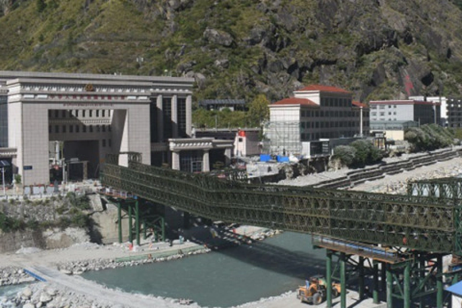
It has also urged the Department of Hydrology and Meteorology to operate its weather and flood forecasting services around the clock throughout the monsoon. The authority further called on the Ministry of Foreign Affairs and other agencies to expedite the delivery of Bailey bridges pledged by the Indian government.
To strengthen emergency response, the authority is working with the private sector, civil society organisations, the Drone Association of Nepal and the Nepal Association of Rafting Agencies to ensure adequate search and rescue resources during disasters.
Geographical assessment
The authority has completed geographical assessments at around 300 high-risk locations across the country to identify potential disaster zones. According to spokesperson Mahat, the studies were conducted at the request of local governments, with technical teams visiting vulnerable areas to assess possible disaster threats before the monsoon reaches full strength.


-1200x560-1774606010.webp)


