Saturday, 27 July 2024 09:24 AM
OR
Login using
UK-based group says new Indian map illegal
Published On: December 7, 2019 12:19 PM NPT By: Republica | @RepublicaNepal
KATHMANDU, Dec 7: The Global Policy Forum for Nepal (GPFN) has said that India's unilateral act to publicize its political map by incorporating Nepali territory in its side of the border is illegal. The group said the Indian act violates both the mutually agreed past treaty and international laws.
Issuing a press statement on Thursday, the GPFN has said it reached the conclusion on the basis of historically factual premise. “We believe that an immediate correction of the maps by the Government of India is a necessary and a vital step in defusing the situation and safeguarding the cordial relations existing between the two sovereign states,” read the statement issued by the UK-based non-profit organization that aims to provide independent, objective, impartial and non-partisan policy advice on issues affecting Nepal and its citizens.
The territorial boundary of Kalapani and other areas east of the Mahakali River in Nepal's western frontier with India was settled during the colonial time by the 1816 Sugauli Treaty (specifically Article 5) between independent Nepal and the then colonial India under the British East India Company. “The modern treaty arrangements between the two countries have acknowledged the boundary set by the Sugauli Treaty. According to the basic principle of international law, any changes of borders are subject to mutual consultation between the neighboring states,” the press statement said further.
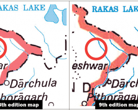
A geographical map unilaterally released by the Government of India in November inaccurately portrays several Nepali sovereign territories in the far north-west area, specifically Kalapani, Lipulekh and Limpiyadhura to be inside the Indian border. This in itself is not new, and such erroneous maps have surfaced before.
However, the release of this new map, the GPFN said, only goes to show an aggressive Indian tone. “The repeated infraction and the additional commentary by a spokesperson for the Indian Ministry for External Affairs [Raveesh Kumar, New Delhi, 7th November 2019], stipulating that the map “..accurately depicts the sovereign territory of India” continues to cause considerable disquiet amongst Nepalis including those in the diaspora,” the statement further said. “Multiple wrongs do not and should not be allowed to make a right.”
GPFN said it is willing to offer its support to both countries in finding a mutually agreeable resolution on the basis of historical evidence and the norms of international law to this and another major border dispute at Susta in the Lumbini region of southern Nepal.
You May Like This
NCP meet vows to remove Indian troops from Kalapani
KATHMANDU, Dec 23: The ruling Nepal Communist Party (NCP) has vowed to take immediate steps to remove the Indian security... Read More...

Govt urged to initiate diplomatic efforts to correct Kalapani map
KATHMANDU, Dec 20: Former prime minister Madhav Kumar Nepal has urged the government to initiate diplomatic efforts to resolve the... Read More...
Govt forms committee for border inspection
KATHMANDU, Nov 22: The government has formed a committee to inspect Nepal’s borders with India and China, following the controversy... Read More...
NRB unveils monetary policy
19 hours ago


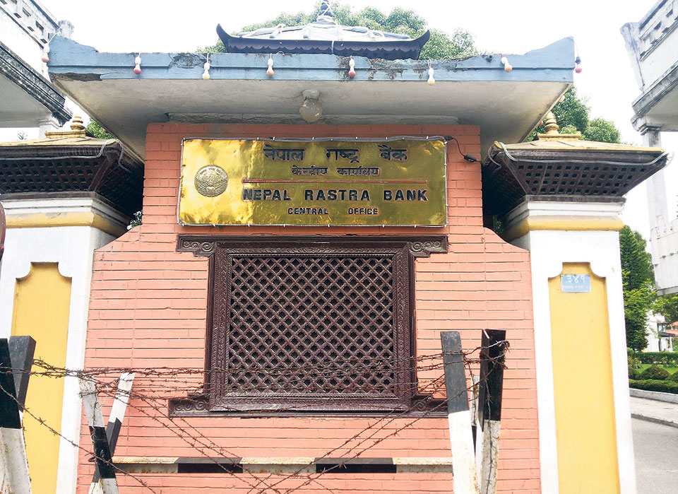
NRB set to issue monetary policy today
21 hours ago

Girl found unconscious at Gwarko guest house dies
22 hours ago
Challenges Confronting the New Coalition
29 minutes ago
NEB to publish Grade 12 results next week
12 hours ago
NC defers its plan to join Koshi govt
13 hours ago

NRB to review microfinance loan interest rate
13 hours ago
Just In
- Challenges Confronting the New Coalition
- NRB introduces cautiously flexible measures to address ongoing slowdown in various economic sectors
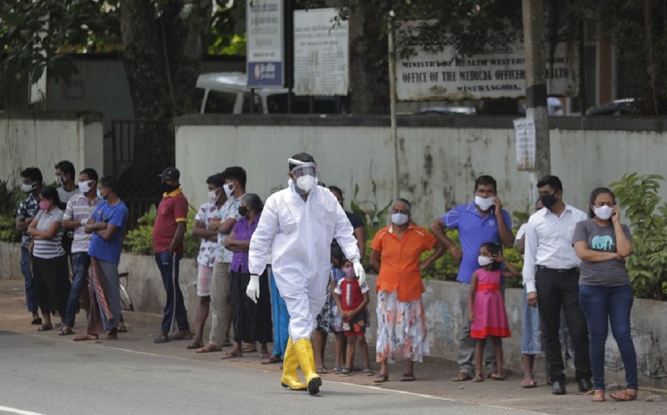
- Forced Covid-19 cremations: is it too late for redemption?
- NRB to provide collateral-free loans to foreign employment seekers
- NEB to publish Grade 12 results next week
- Body handover begins; Relatives remain dissatisfied with insurance, compensation amount
- NC defers its plan to join Koshi govt
- NRB to review microfinance loan interest rate
Leave A Comment