
Forty years on, observing earth from space still captivates scientists and ordinary people alike.[break]
But Earth Observation (EO) from space has taken up a more valuable purpose than just capturing a fascinating view of our home. With climate change and environmental degradation threatening global well-being, scientists and environmentalists have been using satellite based imagery and other forms of information to check on the health of our planet.
With the progress in technology and connectivity, much of this information is now available to almost each individual.
“The smart phones we use everyday have more computational and communication capabilities than the computers used to obtain information from space (satellites) 20 years ago. All that technology and information once exclusive or even classified, today, we carry them in our hands,” shared Dr V. Jayaraman, Director of Earth Observation Systems (EOS), Indian Space Research Organization (ISRO) at the SERVIR Himalaya youth forum, a side event during the Bhutan Climate Summit in Thimpu, last week.

At another side event of the summit – an International symposium “Connecting from Space to Village,” environmentalists and scientists gathered also agreed that the advancement in information technology, the EO systems, Remote Sensing (RS) and modern geospatial tools can make the information available from space to the ground users even in remote villages.
The satellite based RS refers to techniques that use sensors fixed in the orbiting or stationary satellites to acquire data about the objects on Earth. Google Earth would be an example of how RS tool makes high resolution satellite images of Earth taken from space available to every internet user.
Moreover, Dr Jayaraman in an email interview told The Week that there have also been advanced developments in enabling techniques such as Geographical Information System (GIS), Image Processing, Pattern Recognition and more.
“Over the years, the EO has proved to be an indispensable tool for providing valuable information on world’s natural resources and environment, not easily possible from any other means,” Dr Jayaraman says.
During several sessions at the symposium, experts discussed and shared how EO can help better understand climate change in order to support climate policy and actions in eastern Himalaya.
In the remote mountain regions of Hindu Kush Himalaya (HKH), the rugged terrains with harsh climatic conditions make ground work very challenging. In this regard, EO has proved to be the only technologically viable means to gather high quality data from the topography.
Samjwal Ratna Bajracharya, RS Specialist at MENRIS division, ICIMOD shares how remote sensing based observation has proved to be critical in studying and monitoring glaciers, permafrost and snow cover in the region.
He says his report “Status of Glaciers in the Hindu Kush Himalaya Region” which will be launched at the ongoing COP 17 heavily relies on the spatial analysis done through RS and GIS tools.
Moreover, the Himalayan cyrosphere known as “water tower of Asia” which not only sustains the mountain eco-system but also the livelihoods of more than a billion people in the downstream areas, has proven to be under severe threat from global warming.
Reports have confirmed that the warming trend in the Himalaya has been much greater than the global average resulting in unpredictable weather patterns, unusual rainfall, thinning glaciers, formation of new glacial lakes and an increased threat of catastrophic Glacial Lake Outburst Floods (GLOF).
“As climate change, cryosphere and water availability are interrelated, it is important to collect necessary data to monitor and understand glacier and snow cover dynamics,” says Bajracharya. Besides glaciers monitoring, ICIMOD has also been using EO for monitoring air quality, transboundary air pollution and black carbon, land cover and change analysis, biodiversity conservation and ensuring food security as well as disaster preparedness and management including forest fire monitoring and alarm system.
Moreover, Dr Tej Partap, Vice Chancellor of Srinagar University, India emphasized on how remote sensing based information can be of practical use in developing strategies and action plans to sustain mountain agriculture and biodiversity.
“Prediction of change in weather patterns can be studied through EO tools. This kind of information can be very useful for farmers to decide when to start farming their crops,” Dr Partap shared.
Giasuddin Ahmed Chaudhary, Executive Director of Center for Environment GIS, Bangladesh also shared that satellite based rainfall estimation along with RS images for river mapping can help develop early flood warning system which is crucial for downstream areas like Bangladesh that are frequented by floods.
Though improvement in satellite meteorology has made tremendous progress enabling weather forecast three to five days in advance with 75-95% confidence, Chaudhary pointed out, that there still is a lack of proper regional datasets that are indispensable to carry out a complete study of earth processes.
To overcome the challenge of limited availability of geo-information and of affordable tools and methods for using such information, international collaboration has proved essential.
International Charter on Space and Major Disasters is one system that brings major space agencies together to make satellite based information available to public during major disasters for free.
It proved valuable during Saptakoshi flood triggered by Koshi Barrage breach and even the recent Haiti earthquake. It could provide relevant information of the damage, point out danger areas, locate survivors and help decide where they could be shifted.
These systems can also provide relevant information for beforehand analysis of potential disaster hot spots like the growing Imja Glacial Lake.
Other partnerships like GEO (Global Earth Observations) with various nations, international and regional organizations as members also support information sharing. This is essential for exploiting the potential of EO to support informed decision making for local, national, regional and global authorities.
Carrie Stokes, Geospatial Technology Advisor, USAID also emphasized that as a global community we cannot come to a solution individually and hence international collaborations are a must.
“So what we are trying to invest on is having dialogues with decision makers to understand what they need and have demand driven researches,” Stokes said
Even with all the technological advancement and years of research and analysis, ICIMOD Director General Andreas Schild pointed out that if the world leaders don’t address the climate change situation, none of this can be of any substantial use.
“We can only make them aware, provide trainings and relevant information. But to get the Mountain agenda and climate change concerns listed as government priorities, government level action is essential or we’re all at a loss,” said Schild.
With the international forums and conferences such as ongoing COP 17 and the approaching Rio+20 that promise to address the situation of the deteriorating health of our planet, world leaders have to step up to make decisions that will not be dominated by profit-driven economic policies.
The symposium was organized by ICIMOD (International Center for Integrated Mountain Development), USAID (United States Agency for International Development and NASA (National Aeronautics and Space Administration) in close coordination with Ministry of Agriculture, Government of Bhutan.
Related story
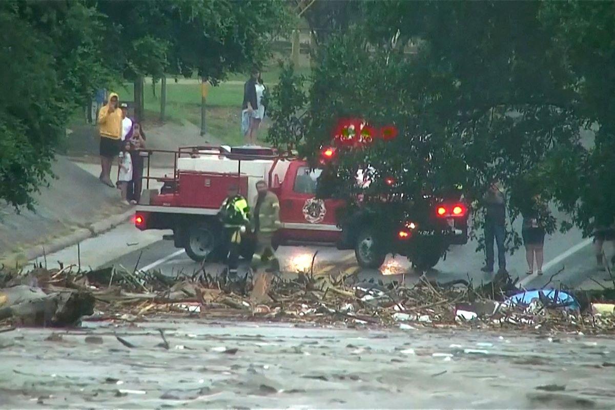
Desperate search for missing girls as nearly 80 dead in Texas f...


-1782782519.webp)


-1200x560-1774606010.webp)


