KATHMANDU, Feb 15: Meteorologists consider the winter period to be from December 1 to February 28. During this time, Nepal typically receives up to 60 millimeters of rainfall.
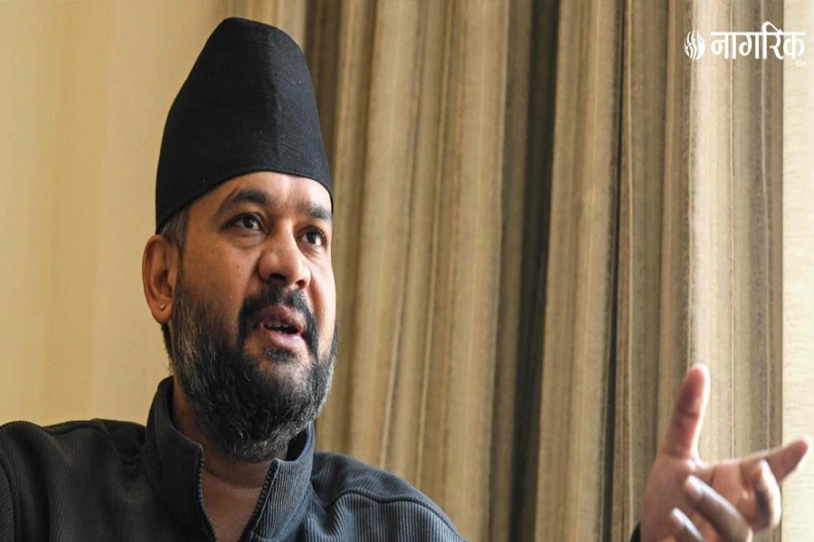
However, rainfall has been significantly low this year. Meteorologist Dr Dharmaraj Upreti said that only 9.5 percent of the expected rainfall has occurred as the winter period nears its end.
“With only two weeks remaining in the winter period, there is little chance of heavy rainfall,” he said, “Light rain may occur after 10 days, but that too could change.” He claimed that it is now certain that this year’s winter will be recorded as a dry one.
Meteorologist Upreti noted that even Pokhara, known for receiving the highest rainfall in Nepal, has not seen any rain this winter. Similarly, areas that usually experience rainfall, such as Simara, Biratnagar, and Dhankuta, have also gone through a dry spell this season.
However, there has been light rainfall in western Nepal during this winter. “In Doti, about 25 percent, and in Dadeldhura, around 30 percent of expected rainfall has been recorded,” Upreti told Republica.
As the dry winter progresses, the mountains show visible signs of impact. The faltering snowcaps have now exposed barren black rocks of some of the country’s tallest peaks.
Meteorologist Upreti also pointed out that the low rainfall will significantly affect agriculture and crop production. The production of winter crops such as wheat, mustard, and lentils is expected to drop considerably this year.
NEPSE jumps 83 points, hydropower sector leads gains

Meteorologist Upreti stated that the lack of winter rainfall increases the risk of forest fires and wildfires during the dry months of Chaitra (mid-March to mid-April) and Baisakh (mid-April to mid-May).
“Severe problems, such as the drying up of water sources and reduced water levels, may also occur due to the decreased rainfall,” he said, “Governments must remain alert to address these issues."
Why was there no winter rainfall?
Meteorologist Upreti explained that the primary cause of the lack of winter rainfall is the change in sea surface temperature. Climate change causes the sea surface to fluctuate between hot and cold. The sea surface from Indonesia to the Indian Ocean is currently cold, which prevents evaporation. "Without evaporation, the rainfall process is reduced," he said, "This results in the sea temperature being either average, below average, or above average."
He also noted that the sea temperature is currently at an average level. He explained, "The process is moving from the El Nino system to La Nina, but it hasn't reached the final stage yet. Since it remains in a stable state, it could either bring rain or not." Meteorologist Upreti attributed this system to the absence of rainfall this time.
Meteorologist Upreti explained that 'El Nino' is a natural climate phenomenon. The American Geosciences Institute states that 'El Nino' and 'La Nina' are conditions linked to periodic changes in the sea surface temperature of the Pacific Ocean, which impact weather patterns across the globe.
El Nino raises temperatures, while La Nina cools them. 'El Niño' is the oceanic event responsible for changes in sea temperature and atmospheric conditions in the tropical Pacific equatorial region. This change can increase temperatures by 4 to 5 degrees Celsius above normal.
When will the winter fog in the Terai region clear?
In the night, the ground cools down, causing the air temperature to drop in the morning, which leads to countless water particles appearing in the air. This forms fog, or mist. According to the Meteorological Forecasting Division's website, fog occurs when visibility is less than one kilometer, and mist occurs when visibility ranges from one to five kilometers.
In the southern Terai belt, some areas have fog, while others are experiencing mist. This situation has worsened this year due to the lack of winter rainfall. However, meteorologist Upreti said that the fog in the Terai districts is gradually clearing.
"If it had rained, the countless water particles in the air would have either fallen to the ground or evaporated, but since that didn’t happen, the Terai has experienced prolonged fog and mist this year," he explained. He added that fog is still lingering in the mid-hilly and eastern regions.
The Meteorological Forecasting Division reports that western winds are currently influencing the country, resulting in mostly clear weather, with a chance of light snowfall in some areas of the high hills and mountainous regions.
When will rainfall occur?
Meteorologist Dr Upreti stated that rain is expected after some time and expressed his optimism that Nepali mountains will soon be covered in snow.
He said that the western winds are showing signs of being more active this week than in previous periods. Snowfall is expected to occur in the mountainous regions at the start and end of the week.
He also predicted light rain and cloud cover in all three provinces of western Nepal on Saturday evening. Moderate winter rainfall is anticipated on Thursday and Friday.
Dr Upreti further forecasted light rain across Sudurpaschim, Karnali, and Lumbini provinces until Saturday evening.


