Monday, 20 May 2024 09:24 PM
OR
Login using
Nepal fails to disseminate the new political map to embassies: Diplomatic oversight or negligence?
Published On: September 10, 2023 09:30 AM NPT By: Bhuwan Sharma
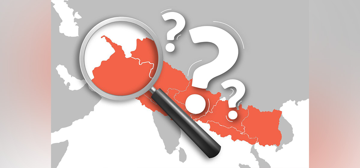
KATHMANDU, Sept 10: Following the approval of Nepal's new map by the federal parliament, the government led by then-Prime Minister KP Sharma Oli had pledged to share this significant update with foreign embassies, diplomatic missions, and consulates across the country. However, this commitment remains unfulfilled to this day.
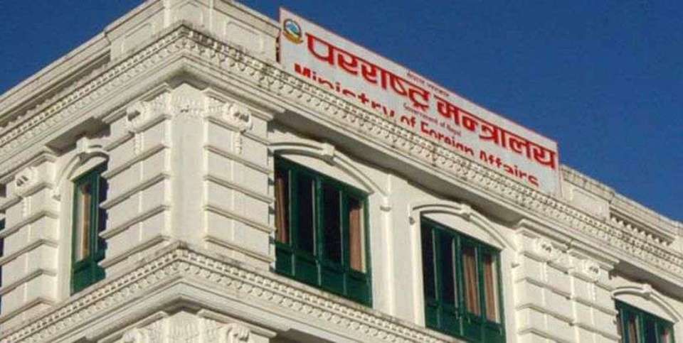
On May 22, 2020, the Ministry of Land Management, Cooperatives, and Poverty Alleviation composed a formal request to the Ministry of Foreign Affairs (MoFA), urging them to distribute the new map to various foreign embassies. At the same time, the Ministry of Land Management extended similar requests to all other ministries, urging them to adopt the new map and instruct their subordinate agencies to follow suit. Regrettably, the MoFA failed to act upon this appeal.
In a letter addressed to international non-governmental organizations and development partners actively engaged in Nepal, Ananda Paudel, a survey officer of the ministry, emphasized, "It is widely known that Nepal's political and administrative map was officially approved by the Government of Nepal through a decision made on May 18, 2020. Consequently, on May 22, 2020, the Ministry of Land Management, Cooperatives, and Poverty Alleviation resolved to request the distribution of this map to all ministries for immediate implementation and to related agencies under their jurisdiction."
Similarly, a separate letter sent to the Ministry of Home Affairs urged them to encourage district administration offices to promote the use of Nepal's new political and administrative map among local government bodies, non-governmental organizations, and educational institutions. The letter further instructed the ministry to disseminate the map to the general public through these district administration offices.
In a missive directed at the Ministry of Education, the ministry requested the replacement of outdated maps in the curriculum and textbooks of all universities, community schools, and private institutions. They sought necessary corrections to ensure that only the new political and administrative map of Nepal or the specified international and administrative borders were utilized.
However, instead of directly dispatching the new political map to the embassies, the Ministry of Land Management opted to transmit it to foreign missions, including the United Nations and the Chinese government, exclusively through the Ministry of Foreign Affairs. Despite this formal process, the change in government leadership and the Ministry of Foreign Affairs resulted in the decision remaining unexecuted.
Former Minister of Land Management, Cooperatives, and Poverty Alleviation Padma Aryal explained, "At that time, the government transitioned, and the Minister for Foreign Affairs also changed, which led to the decision being shelved."
During the time when the ministry of land management sent its letter to the MoFA, Pradeep Gyawali, a leader of the UML party, held the position of Minister for Foreign Affairs. Gyawali claimed to be unaware of whether the foreign ministry had forwarded the new maps to various embassies. He stated, "I don't have information about this. I will find it out." Nevertheless, the Ministry of Land Management's request remained pending for approximately 13 months, eventually falling under the purview of the MoFA. Subsequent government changes, including the fall of the KP Sharma Oli government in July 2021, did not bring any resolution to the matter.
Despite the parliamentary approval of the new map during Oli's tenure, critics argue that the government displayed hesitance in advancing its own agenda. Buddhi Narayan Shrestha, a researcher specializing in border issues in Nepal, characterized this failure to transmit the parliament-approved map as a diplomatic shortcoming, emphasizing, "This is a diplomatic failure, not an initiation."
Sources within the MoFA reveal that the process stalled primarily due to a lack of initiative from the political leadership to send the approved map to foreign embassies. Following the federal parliament's endorsement of the new map, the Ministry of Education moved forward by incorporating the updated map into secondary-level curriculum materials. However, the publication of these materials was halted following strong directives from the Cabinet and the Prime Minister's Office.
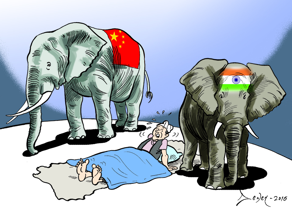
The recent controversy surrounding Nepal's new map arose when the Chinese government released its own map on August 29, omitting Nepal's revised borders. Experts assert that China's disregard for Nepal's map reflects the nation's diplomatic ineffectiveness, resulting in the continued use of outdated territorial depictions.
The State Affairs and Good Governance Committee of Nepal's Parliament issued directives to the government to release a new map inclusive of areas like Limpiyadhura, Lipulek, and Kalapani, designating Limpiyadhura as the source of the Mahakali River. This decision came after India published a map in November 2019 that included Nepali territory, sparking widespread protests.
Subsequently, the parliamentary committee instructed the government to produce a new map featuring Limpiyadhura, covering approximately 335 square kilometers of land encroached upon by India. The map also incorporated Gunji, Nabi, and Kuti villages, absent from the previous version issued in 2032 BS. Experts note that the new map aligns with the land demarcated for Nepal by the Sugauli Treaty of 1816.
Madhav Kumar Nepal, chairperson of the CPN (Unified Socialist) party and a member of the House of Representatives, emphasized that it is the responsibility of the Government of Nepal to inform the international community after releasing an updated map. He urged the government to ensure proper communication, stating, "Even if only verbal information has been given, details should also be requested."
Foreign Minister NP Saud acknowledged that he had not received any information on this matter from the concerned department since assuming his role.
During the HoR’s International Relations Committee meeting, lawmaker Shishir Khanal, a leader of the Rastriya Swatantra Party (RSP), highlighted the sensitivity of the map issue and questioned whether the United Nations had been informed about it. He stressed, "If not, the Ministry of Foreign Affairs should clarify when this information will be provided."
Lawmaker Prabhu Sah, who is also the chairman of the Aam Janata Party, expressed concern that the map issue had not been adequately communicated to the international community. He suggested forming a committee to investigate the matter, emphasizing that any mistakes must be rectified and not ignored, as they could have serious consequences in the future.
You May Like This
Underprivileged receive ID cards, but remain deprived of privileges
KATHMANDU, Sept 13: Over the past decade, since 2013, the government has allocated Rs 3.41 billion to issue identification cards... Read More...
Co-op sector should be made dignified, credible and sustainable: Minister Shrestha
KATHMANDU, Nov 19: Minister for Land Management, Cooperatives and Poverty Alleviation, Shashi Shrestha has underscored the need of making the... Read More...

Judiciary needs to be remodeled: Minister Shrestha
BIRATNAGAR, Oct 31: Minister for Land Management, Cooperatives and Poverty Alleviation, Sashi Shrestha has stressed the need for restructuring the... Read More...
Unavoidable Realism of Nepal’s Geopolitical Strategy
12 hours ago

Women lead the way in Kathmandu city management
7 hours ago


Just In
- Airlines except Tara air halt flights on Ramechhap-Lukla route with mountain climbing season drawing to a close
- NC Vice President Gurung writes letter to Speaker demanding action against Home Minister Lamichhane
- Man-eater tiger dies in Sauraha
- Mayor Balen announces 101 companies attempting land swaps like Giri Bandhu Tea Estate
- CAAN Director General Adhikari to take part in Future Aviation Forum
- Nepal seeks repatriation of 15th century Buddha statue stolen by Chinese smugglers
- Nepal expresses grief over passing of Iranian president, foreign minister in tragic helicopter accident
- NEPSE surges 27.54 points, daily turnover rises to Rs 5.85 billion
Leave A Comment