Friday, 19 April 2024 12:17 PM
OR
Login using
Who is right, who is wrong on Nepal-India battle of maps?
September 5, 2020 11:21 am
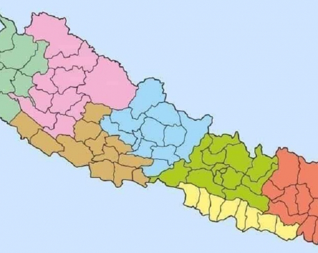
Nepal published its revised ‘political and administrative map’ incorporating the frontiers of Lipulek-Kalapani-Limpiyadhura in May this year. The map has been approved through parliamentary voting unanimously to pave the way for replacing Nepal’s map in the national emblem with the country’s revised map. It has been authenticated by the office of the president. Ever since, the new map is in official use.
Trending


Just In
- Gold price increases by Rs 700 per tola
- Fire destroys wheat crop in Kanchanpur, Kailali
- Bipin Joshi's family meets PM Dahal
- State Affairs and Good Governance Committee meeting today
- Gold items weighing over 1 kg found in Air India aircraft at TIA
- ACC Premier Cup semi-final: Nepal vs UAE
- Sindhupalchowk bus accident update: The dead identified, injured undergoing treatment
- Construction of bailey bridge over Bheri river along Bheri corridor reaches final stage