Friday, 26 April 2024 01:40 AM
OR
Login using
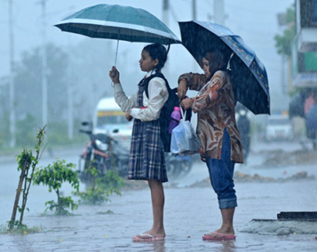
There are still chances of slight to moderate rainfall next week
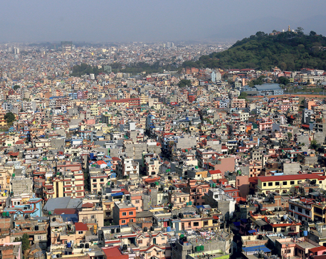
KATHMANDU, Jan 10: After gloomy weather with active winter rainfall for many days, most parts of Nepal are set to see improved weather conditions beginning Friday, according to the Meteorological Forecasting Division (MFD).
A meteorologist at MFD, Barun Paudel, said the active winter rainfall over the past couple of days came to an end on Thursday. “This year, we experienced more active winter rainfall compared to previous years,” he said.
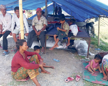
Most parts of the country saw cloudy weather over the past few days, with moderate snowfall in the high hills and mountain region and light rain in the western hills. Heavy rainfall in the mountains obstructed major highways, affecting normal life.
The weather is predicted to clear from Friday for the next few days, according to MFD. Although the mornings will still be foggy, the days will be warmer with varying amounts of sunshine.
The weather can still fluctuate over most of the country, though. This year’s heavy clouds formed due to a low pressure system. It was one of the most active winter rainfall patterns in the past few years. The western region experienced 25-30 mm of rain. The central and eastern regions had light to moderate rain with overcast skies all day.
Meteorologist Paudel said the somewhat different weather pattern this winter was quite natural and there was nothing to really worry about.
One of the benefits of winter rain is the clearing out of air pollution. It also benefits farmers growing winter crops like wheat, barley, mustard and potatoes, he added.
Winter rain also influences snowfall in the mountains. The snow later helps replenish various water resources. However, Paudel suggested that there should be adequate alternatives in case of uncertain winter rain.
You May Like This
Weather to be changeable in most parts of Nepal
KATHMANDU, Oct 10: The Meteorological Forecasting Division (MFD) under the Department of Hydrology and Meteorology has said that the weather... Read More...
After gloomy dashain, flood victims worry over prospect of cold winter
ITAHARI, Oct 5: For Bikash Nagarkoti of Itahari Sub-metropolitan City - 3, Dashain has always been his best festival since childhood.... Read More...
Country will receive rainfall for next few days: MFD
KATHMANDU, June 5: Water vapour-rich winds rising from the Bay of Bengal and local winds caused rainfalls that continues in... Read More...


Karnali CM Kandel secures vote of confidence
8 hours ago
Just In
- World Malaria Day: Foreign returnees more susceptible to the vector-borne disease
- MoEST seeks EC’s help in identifying teachers linked to political parties
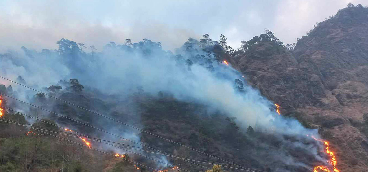
- 70 community and national forests affected by fire in Parbat till Wednesday
- NEPSE loses 3.24 points, while daily turnover inclines to Rs 2.36 billion
- Pak Embassy awards scholarships to 180 Nepali students
- President Paudel approves mobilization of army personnel for by-elections security
- Bhajang and Ilam by-elections: 69 polling stations classified as ‘highly sensitive’
- Karnali CM Kandel secures vote of confidence
Leave A Comment