Friday, 26 April 2024 05:42 AM
OR
Login using
Nepal’s new map covers an area of 147,516 sq km, 10,000 copies being printed
Published On: May 21, 2020 12:29 PM NPT By: BHUWAN SHARMA / BASANTA KHADKA
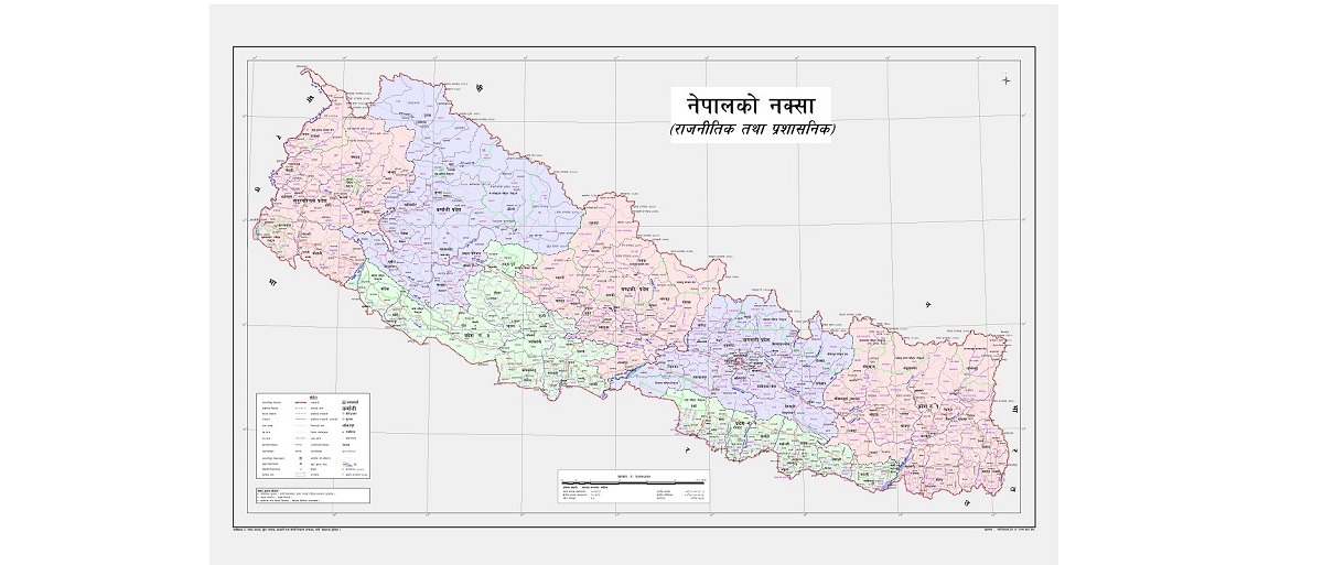
KATHMANDU, May 21: Nepal released its revised political and administrative map which incorporates Limpiyadhura, Lipu Lekh and Kalapani, the territories encroached upon by India. Amidst a televised press conference at the Ministry of Land Reforms and Management at Singha Durbar on Wednesday, Minister Padma Aryal unveiled the new political and administrative map of Nepal.
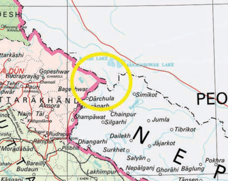
Nepal has included 335 sq km of land in the map. With this, Nepal has now an area of 147,516 sq km. According to the earlier version of Nepal’s map, officially issued in 2032 BS, it covered an area of 147,181 sq km. The new map incorporated the villages including Gunji, Nabhi and Kuti lying in Limpiyadhura, Lipulekh and Kalapani.
According to the Ministry of Land Management, the new map has been prepared primarily based on the Sugauli Treaty reached between Nepal and the then East India Company on March 4, 1816. The treaty states that the territory lying to the east of the Kali [Mahakali] River is an integral part of Nepal. However, the older Nepali map had not incorporated Gunji, Nabhi and Kuti villages in Nepal’s side although they are to the east of the Mahakali River.
According to the Survey Department, the newly issued map, which is a political and administrative one, also shows 753 local units.
While unveiling the new map of Nepal, Minister for Land Management, Padma Aryal said that Nepal’s map changed the world map. “This has also uplifted the spirit of Nepalis,” she added. According to her, the new map has retrieved all the parts of Nepal which had been missing in the older one despite sufficient evidence to claim them. “When it comes to border issues, the whole nation has stood united,” said she adding that it was a golden opportunity for her to have been a part of this historic moment.
The government, while presenting its annual policies and programs for the upcoming fiscal year 2020-21 on May 15, had committed to issuing a new map of Nepal incorporating the encroached region of Kalapani, Lipu Lekh and Limpiyadhura. Later on Monday, the Cabinet endorsed the new political map.
Earlier, the Department of Survey had prepared the map including those territories and submitted it to the Ministry of Land Management some two months ago. Technicians at the Survey Department had prepared the map with accurate scale, projection and coordinate system. “This map has included all the Nepali territories as mentioned in the Sugali Treaty of 1816,” said a technician at the department.
The department, from Wednesday afternoon itself, started printing the map as soon as minister Aryal officially unveiled it. According to Prakash Joshi, the director-general of the department, they are printing the new map at the department’s press. A total of 10,000 copies of the map will be printed and distributed to all government offices followed by other places, he added.
The ministry also urged one and all to use the newly-issued map in place of the older one in practice. The department also updated the new map on its website. Similarly, the updated map can be downloaded from the department’s website. According to a high-ranking officer at the department, they will soon start a study to remeasure the area of Nepal.
You May Like This
PM Oli vows to retrieve Nepali territories encroached upon by India
KATHMANDU, Jan 10: Prime Minister KP Sharma Oli has vowed to retrieve the Nepali territories of Kalapani, Limpiyadhura and Lipulekh... Read More...
India unilaterally constructs link road to Tibet through Nepali territory of Lipulekh
KATHMANDU, May 9: India on Friday inaugurated a strategic link road connecting Dharchula of the Indian State of Uttarakhand and... Read More...
Petitions demand SC order to retrieve encroached territories
KATHMANDU, Nov 14: Two separate writ petitions were filed at the Supreme Court on Wednesday, demanding that the court order... Read More...
First meeting of Nepal-China aid projects concludes
16 hours ago


Karnali CM Kandel secures vote of confidence
12 hours ago
Just In
- World Malaria Day: Foreign returnees more susceptible to the vector-borne disease
- MoEST seeks EC’s help in identifying teachers linked to political parties
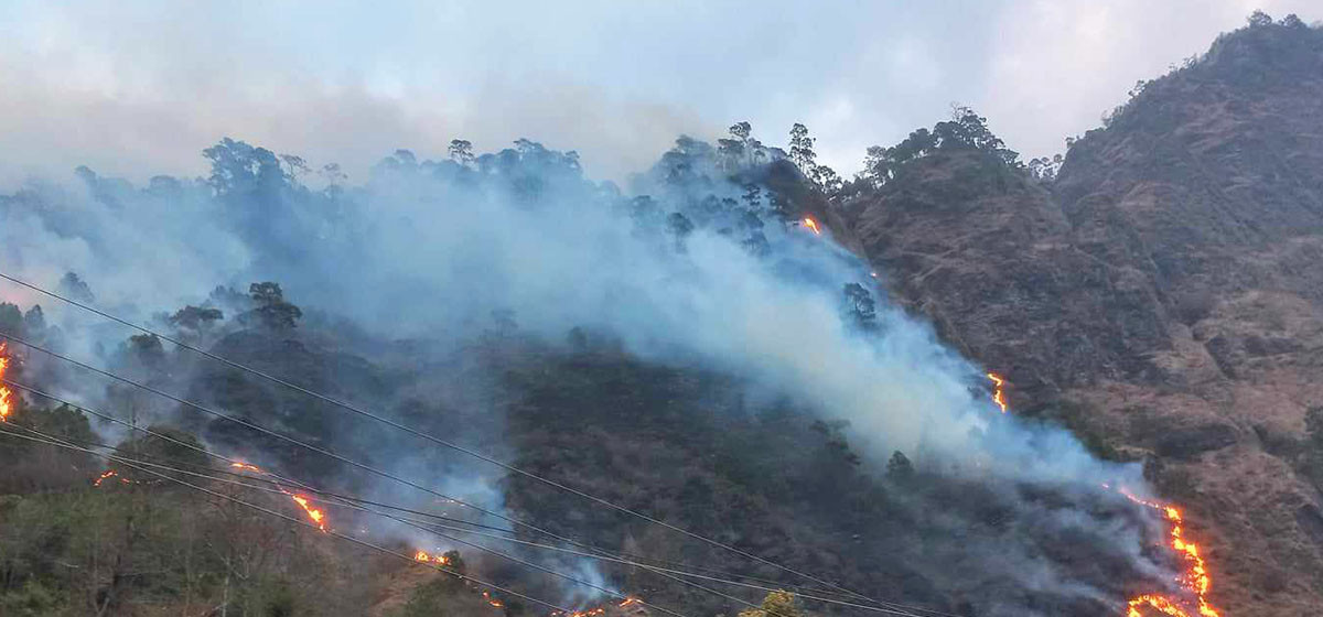
- 70 community and national forests affected by fire in Parbat till Wednesday
- NEPSE loses 3.24 points, while daily turnover inclines to Rs 2.36 billion
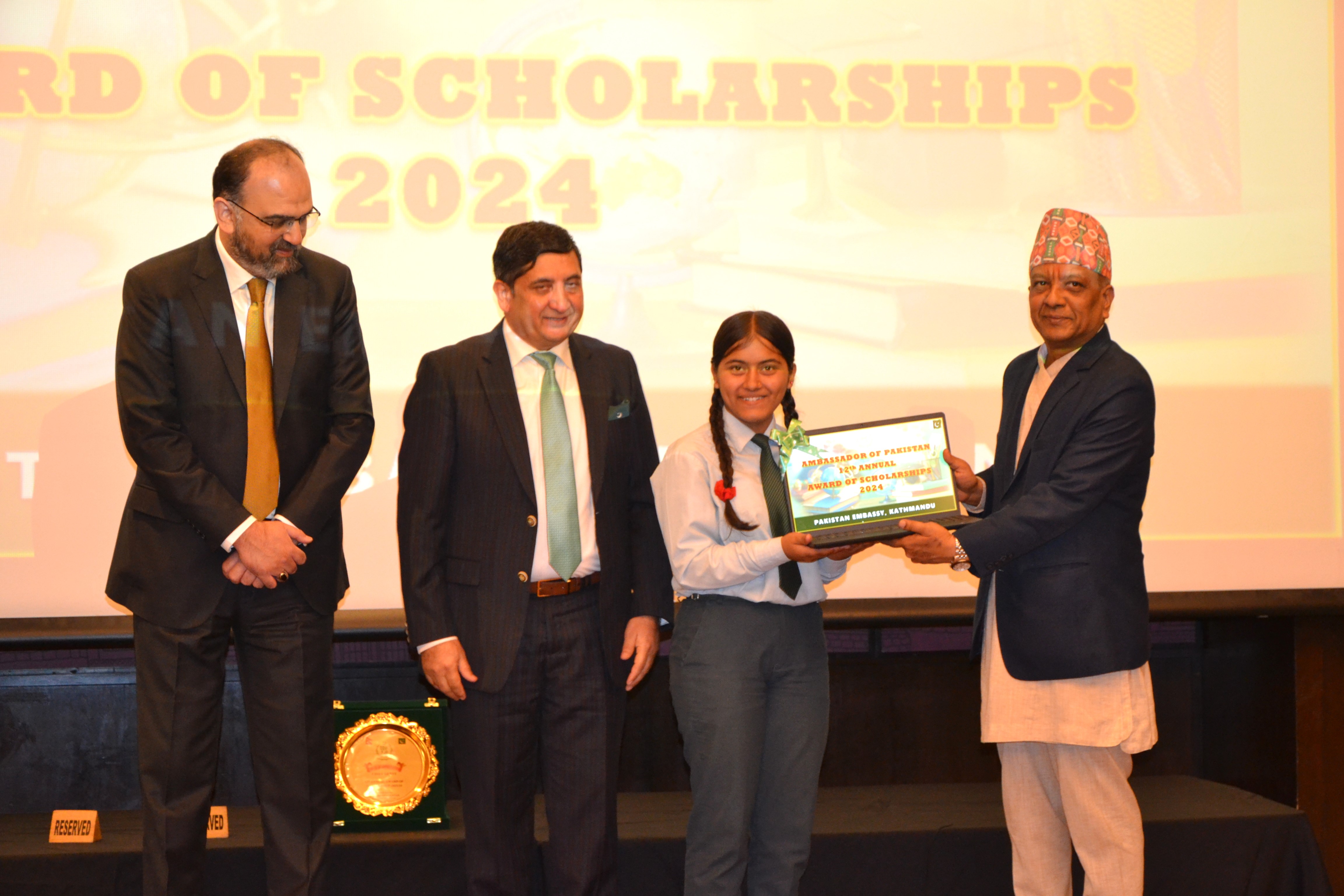
- Pak Embassy awards scholarships to 180 Nepali students
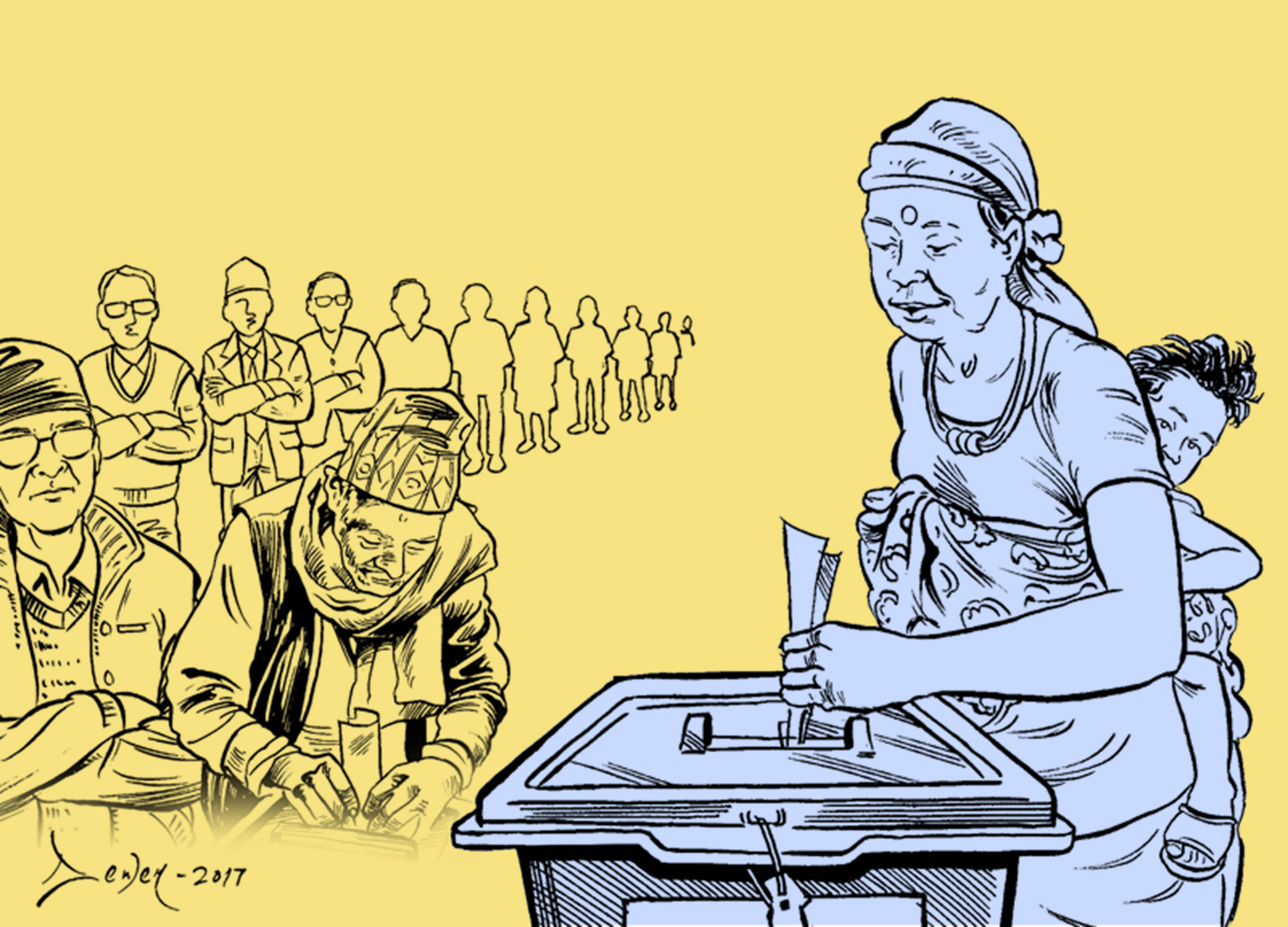
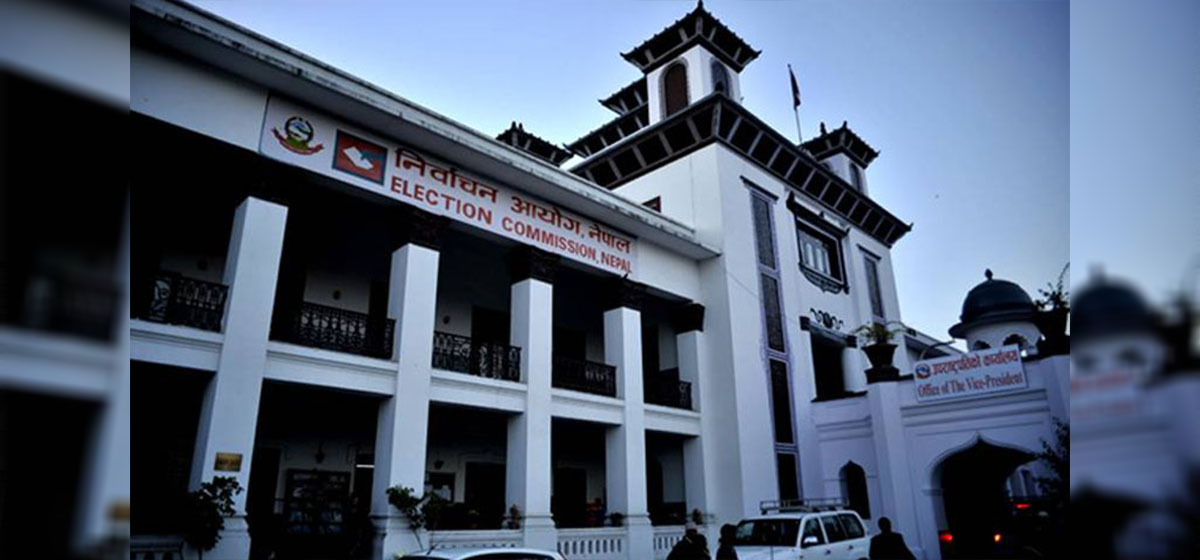
- President Paudel approves mobilization of army personnel for by-elections security
- Bhajang and Ilam by-elections: 69 polling stations classified as ‘highly sensitive’
- Karnali CM Kandel secures vote of confidence
Leave A Comment