Thursday, 25 April 2024 08:14 AM
OR
Login using
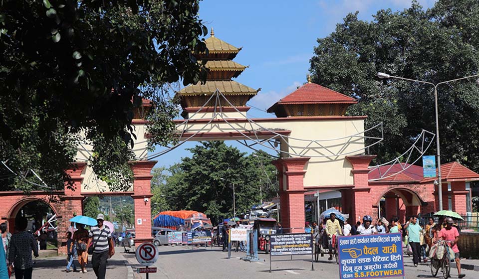
Locals urge government to include Susta area in new map
Published On: June 3, 2020 09:25 AM NPT
PARASI, June 3: The people of Susta have called for clearly specifying the Susta area in the new political and administrative map of Nepal recently endorsed by the government.
They have demanded that the government should also raise the issue of Susta while raising the topic of Kalapani, Lipulekh and Limpiyadhura in talks with India regarding settling the border dispute.
The Susta folks have claimed that India has encroached upon 14 thousand 500 hectares of Nepali land in Susta rural municipality-5 of Nawalparasi (Bardaghat-Susta West). They have urged the government to include this land also in the new map of Nepal.
The government, on May 20, issued a new political and administrative map incorporating the Kalapani, Lipulekh and Limpiyadhura areas bordering with India in Darchula district in the far west of the country after India unilaterally included these territories in its political and administrative map it issued in November and last month inaugurated a link road up the border with China via these territories belonging to Nepal.
President of Save Susta Campaign, Gopal Gurung, said the government should demarcate the border by installing border marker pillars also in the land encroached by India including Susta.
According to him, India has not allowed the Susta people to use around 19 thousand 480 hectares of their land referring to it as disputed. The locals have been using only 7,000 hectares remain land. India encroached upon Nepali land in Susta between 2006 and 2008.
Gurung complained that the people tilling the 7,000 hectares remaining land have also not been provided with land-ownership certificates so far and urged the government to immediately provide the land-ownership certificates.
You May Like This
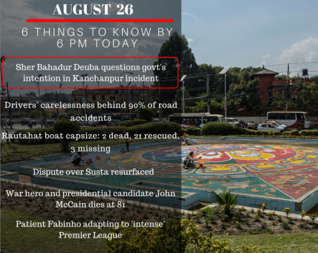
Aug 26: 6 things to know by 6 PM
Your daily dose of missed important news of the day. ... Read More...

Susta locals destroy Gandak dam to save crops
NAWALPARASI, July 3: Locals of Susta, Nawalparasi damaged the Gandak dam to save their crops from being destroyed by the... Read More...
Susta locals feel insecure
NAWALPARASI, Aug 11: As many as 19 local residents of Susta in Nawalparasi district are feeling insecure to go to... Read More...
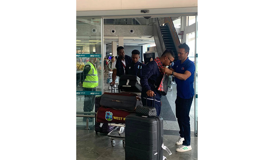
West Indies ‘A’ cricket team arrives in Nepal
18 hours ago
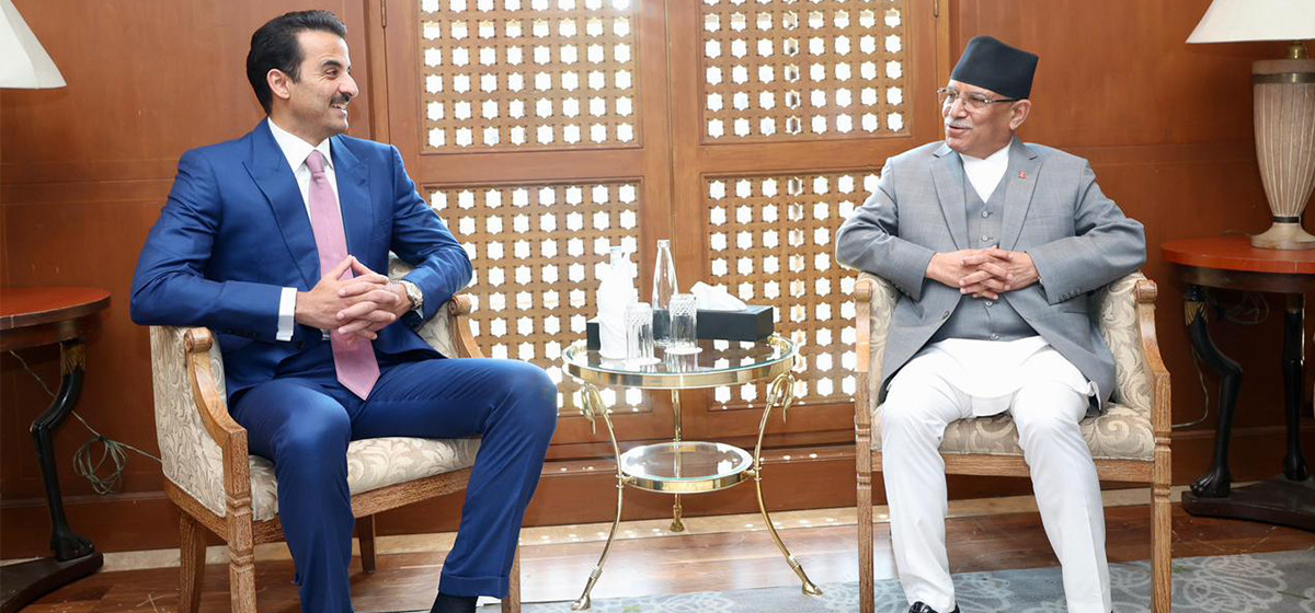
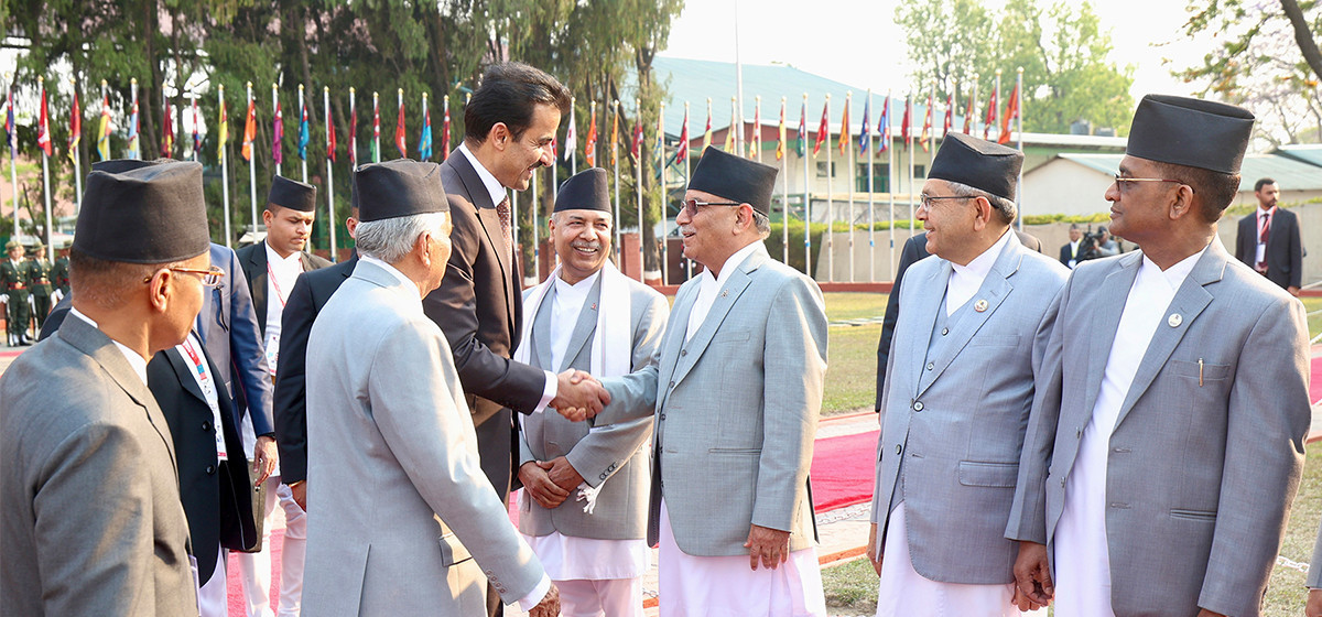
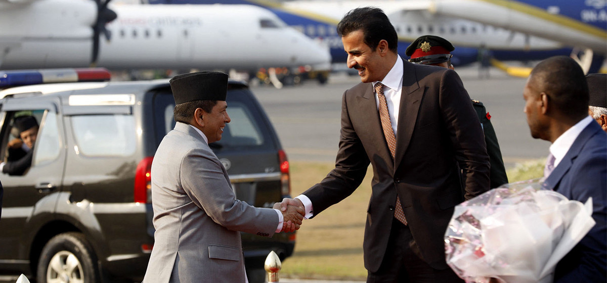
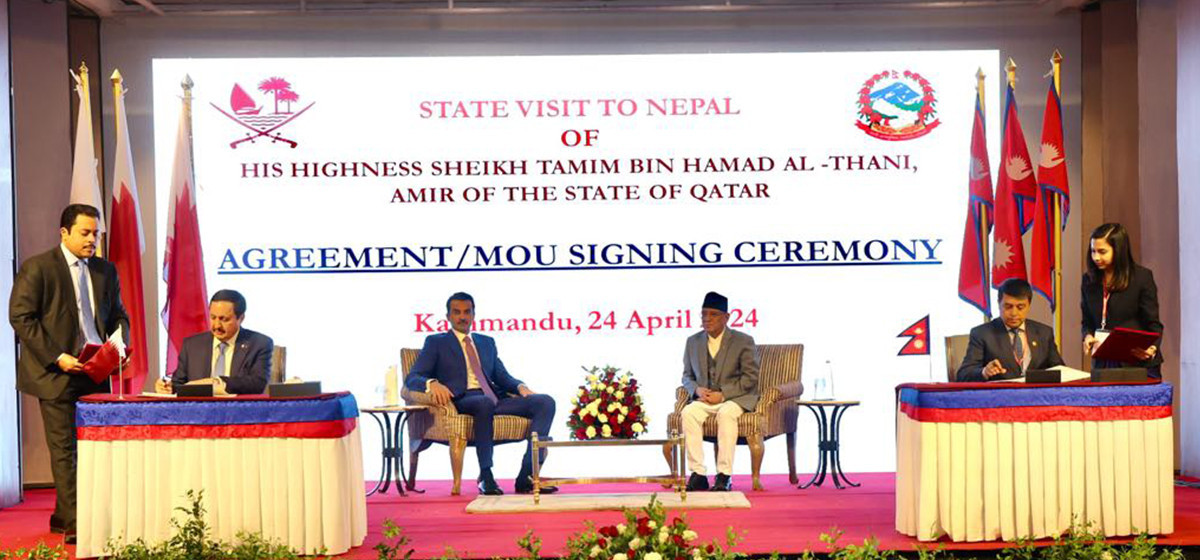
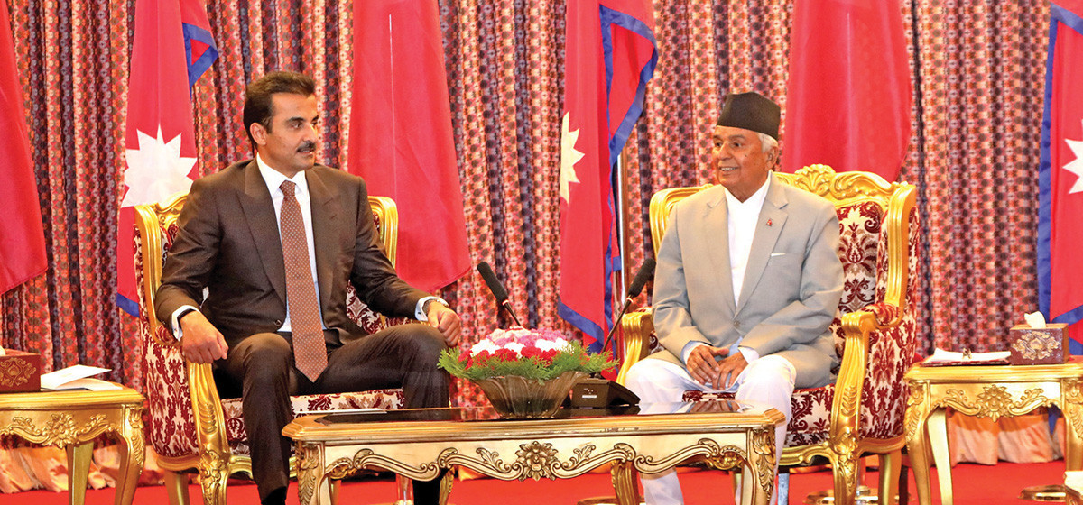
PM Dahal hosts luncheon in honor of Qatari Emir
18 hours ago


Just In
- Insurers stop settling insurance claims after they fail to get subsidies from government
- Nepal-Qatar Relations: Prioritize promoting interests of Nepali migrant workers
- Health ministry to conduct ‘search and vaccinate’ campaign on May 13
- Indian customs releases trucks carrying Nepali tea, halted across Kakarbhitta
- Silent period for by-election to begin from midnight
- SC issues short-term interim order to govt and TU not to take immediate action against TU legal advisor Khanal
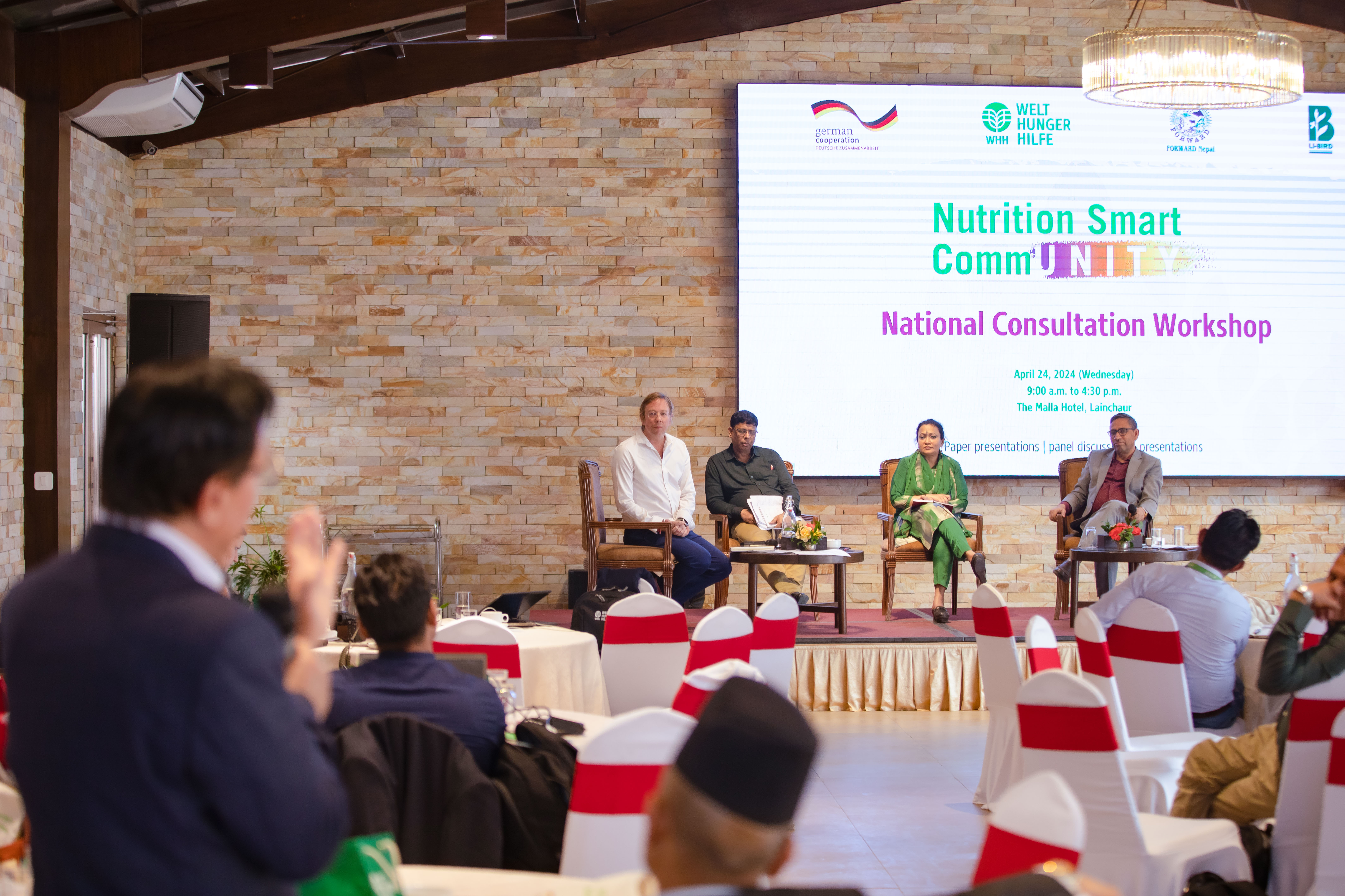
- National consultation workshop advocates to scale up nutrition smart community in Nepal
- Patan High Court issues short-term interim order to halt selection process of NTB’s CEO
Leave A Comment