Thursday, 25 April 2024 07:35 PM
OR
Login using
Has Sagarmatha’s height increased? Nepal and China to reveal the newly-measured height today
Published On: December 8, 2020 08:40 AM NPT By: Ashim Neupane | @ashimnep
This the first time the government has measured the height of Sagarmatha on its own
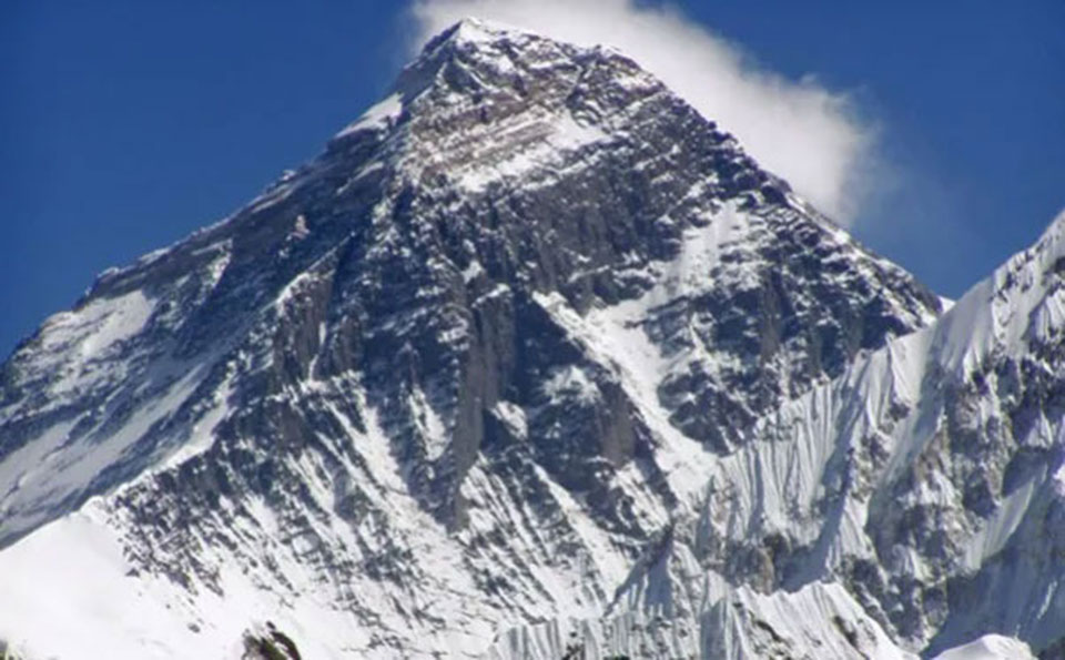
KATHMANDU, Dec 7: After working for years in measuring the height of the world’s tallest mountain, the government of Nepal and China are jointly announcing the newly-measured height of Mount Sagarmatha amid a ceremony in Kathmandu.
The newly-measured height of the tallest mountain of the world is being revealed jointly by Nepal and China, according to the Ministry of Land Management, Cooperatives and Poverty Alleviation.
After the devastating 2015 Gorkha earthquakes, there were speculations by geologists that the height of the tallest mountain in the world might have changed due to possible shifts in tectonic plates. Today’s revelation will clear doubts of geological changes in the Himalayas.
Mount Sagarmatha lies on the border between Nepal and the Tibet Autonomous Region of China.
Currently, the height of Mount Sagarmatha is globally accepted as 8,848 meters. The current height was measured by the Survey of India in 1955, which was later confirmed by a survey from the Chinese side, and was also accepted by the government of Nepal.
The tallest mountain of the world was named after Sir George Everest, who served as a Surveyor General of India in 1865. At that time, the Royal Geographical Society renamed Peak XV – world's highest peak of that time – in Everest's honour.
After almost a century, the tallest mountain in the world got a Nepali name as the government of Nepal named Mt Everest as Mt Sagarmatha in 1960. The local name translates to “Peak of Heaven” in English. Likewise, the Tibetian name for Mount Sagarmatha is Qomolangma, which translates to "Holy Mother" in English.
As there has always been controversy over the height of the tallest mountain, the government decided to measure the height of Mt Sagarmatha on its own in 2011. But the measurement only started in 2017, and the Nepali team scaled the mountain in 2019 to install a GPS machine at the top of the world.
This is the first time Nepal has measured the height of Mt Sagarmatha on its own. The Nepali team used Global Navigation Satellite System (GNSS), advanced technology, to measure the height.
During the visit of Chinese President Xi Jinping to Nepal last year, both the countries decided to jointly reveal the height of the world’s tallest mountain. The Chinese side has also measured the height of Mt Sagarmatha on its own from the northern side.
The newly-measured height of the world’s tallest mountain by both the countries is the same, according to an official at the Department of Survey. But none of the officials at the Department gave information about the survey. “All the details about the survey will be disclosed at a press conference tomorrow,” officials said. They did not disclose if the height of the mountain has increased or decreased.
On November 25, a cabinet meeting decided to reveal the newly-measured height of Mt Sagarmatha.
There is a discrepancy in the measured height of Mt Sagarmatha by geologists of several countries. In 2005, the Chinese side had measured the height of Mt Sagarmatha as 8,844 meters. Likewise, geologists from the United States measured the height of the mountain as 8,850 meters in 1999.
Mt Sagarmatha was first scaled by Tenzing Norgay Sherpa, a Nepali national, and Edmund Percival Hillary of New Zealand, in 1953.
You May Like This
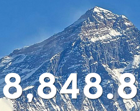
It’s official: New height of Sagarmatha is 8,848.86 metres (with video)
KATHMANDU, Dec 8: The government on Tuesday officially announced the new height of Sagarmatha to be 8,848.86 metres . ... Read More...
LIVE: Sagarmatha's new height
The newly-measured height of the tallest mountain of the world is being revealed jointly by Nepal and China. ... Read More...
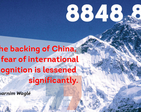
Strategic symbolism of Mt. Everest’s new height
The joint announcement has strategic significance which can be understood against the backdrop of three geo-political-economic developments. ... Read More...


Pak Embassy awards scholarships to 180 Nepali students
24 minutes ago
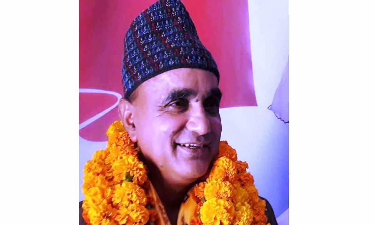
Karnali CM Kandel secures vote of confidence
2 hours ago
Just In
- NEPSE loses 3.24 points, while daily turnover inclines to Rs 2.36 billion
- Pak Embassy awards scholarships to 180 Nepali students
- President Paudel approves mobilization of army personnel for by-elections security
- Bhajang and Ilam by-elections: 69 polling stations classified as ‘highly sensitive’
- Karnali CM Kandel secures vote of confidence
- National Youth Scientists Conference to be organized in Surkhet
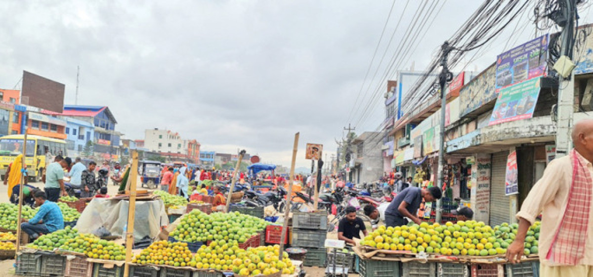
- Rautahat traders call for extended night market hours amid summer heat
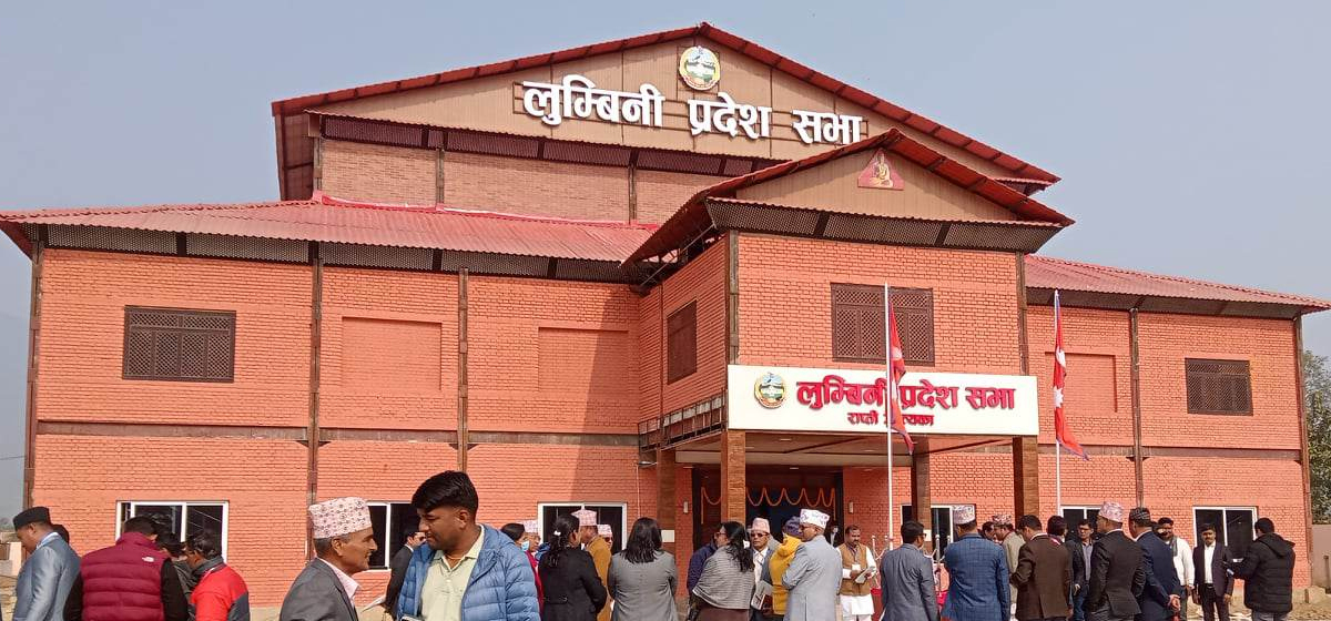
- Resignation of JSP minister rejected in Lumbini province
Leave A Comment