Friday, 19 April 2024 01:00 PM
OR
Login using
New Indian map conspicuously avoids naming Kali River
Published On: November 21, 2019 07:47 AM NPT By: Republica | @RepublicaNepal
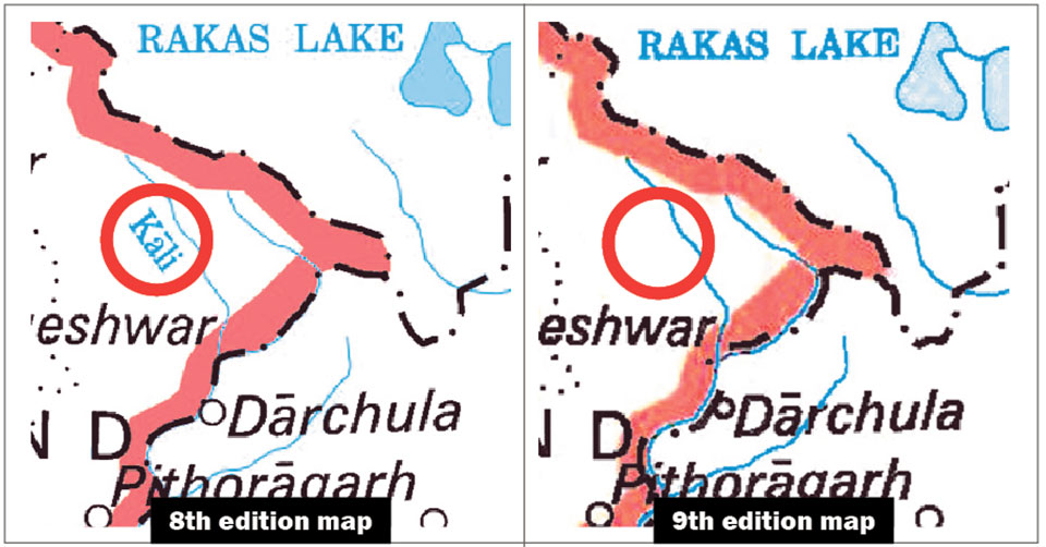
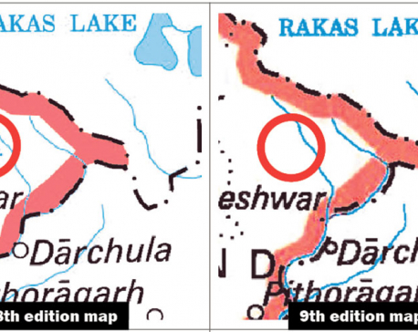
(Left) The map released by India a few days ago names the Kali [Mahakali] river, but the map released more recently has avoided naming the river, which marks the boundary between Nepal and India in western Nepal.
KATHMANDU, Nov 21: At a time of huge public uproar across the country after a political map of India released by the Indians included Nepali territories demarcated by the Mahakali River on Nepal’s western border, any mention of the river, which is known as Kali in India, is conspicuously absent in the ninth edition of the political map released by the Survey of India recently.
The Kali River mentioned in previous political maps released by India serves as Nepal’s natural border with India on the western frontier, as per the Sugauli Treaty reached between Nepal and the East-India Company in 1816. Nepal had to lose huge swathes of territory in the east, south and west under this treaty.
Although the Indian side did not mention the name of the river in its political maps after Indian troops were stationed on Nepali territory in Kalapani after the 1960s, the eighth edition of the Indian political map clearly mentioned the Kali River.
Although various treaties and historical evidence suggest that the origin of the Kali River is the holy Parbatikunda, the Indian side has been claiming otherwise. As per the position maintained by Nepal on the basis of these evidences, various villages including Nawi, Gunji and Gabryang fall on the Nepali side of the border—something India has been denying for long.
Survey Department officials in Nepal see the latest Indian move to avoid naming the river as meaningful as Nepal has been insisting that territories that lie on the eastern side of the river are Nepali territory as per the relevant treaty and agreements reached in the past.
You May Like This
Decades-old border issues should not fester under diplomatic politeness
KATHMANDU, Dec 13: A silent ‘disquiet’ in relations between Kathmandu and New Delhi has surfaced ever since India released its... Read More...
Diplomacy takes a backseat as Kalapani dominates domestic politics
KATHMANDU, Nov 25: Nepali Congress (NC) is using the ‘good old tactics from KP Oli’s handbook’ as the Kalapani dispute... Read More...
Even India's official documents show that Limpiyadhura is the real source of the Kali River (with video)
KATHMANDU, May 22: War of words between Nepal and India has intensified after Nepal issued a new political map that... Read More...


Man dies in motorcycle accident in Dhanusha
3 minutes ago
Australian unemployment rate rises to 3.8 percent in March
30 minutes ago
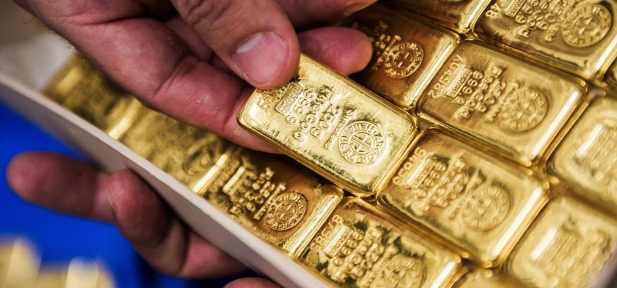
Gold price increases by Rs 700 per tola
53 minutes ago

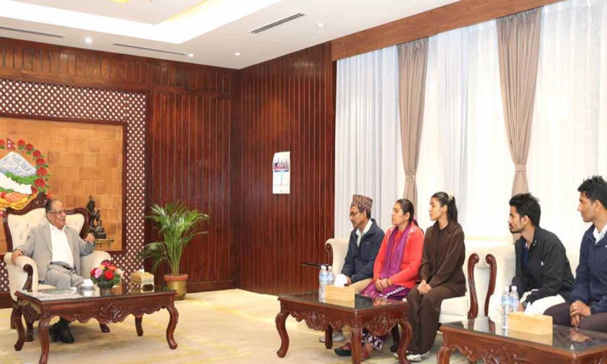
Bipin Joshi's family meets PM Dahal
1 hour ago
Just In
- Man dies in motorcycle accident in Dhanusha
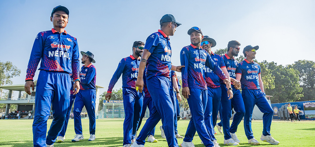
- Nepal face early setback as four wickets fall in powerplay against UAE
- Australian unemployment rate rises to 3.8 percent in March
- Gold price increases by Rs 700 per tola
- Fire destroys wheat crop in Kanchanpur, Kailali
- Bipin Joshi's family meets PM Dahal
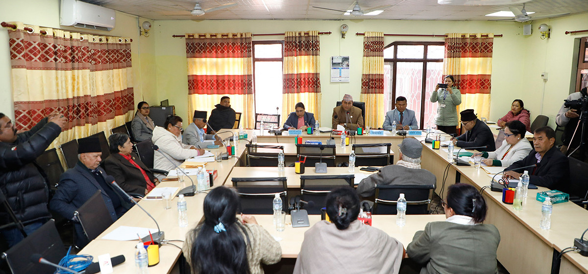
- State Affairs and Good Governance Committee meeting today
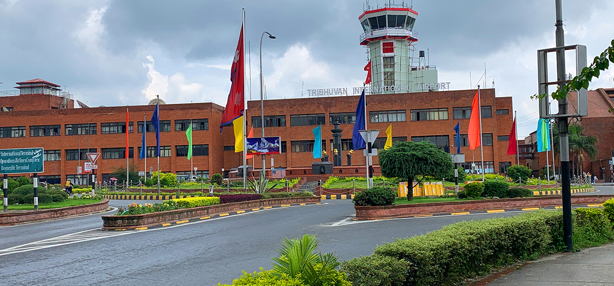
- Gold items weighing over 1 kg found in Air India aircraft at TIA
Leave A Comment