Thursday, 25 April 2024 09:05 PM
OR
Login using
Here’s why it takes two years to measure Mt. Everest
Published On: April 10, 2019 05:19 PM NPT By: Sanskriti Acharya/Pratik Rimal
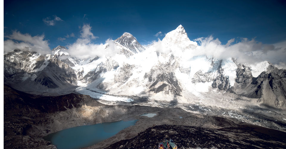
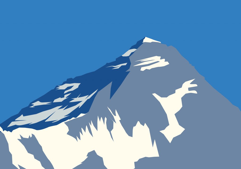
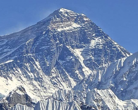
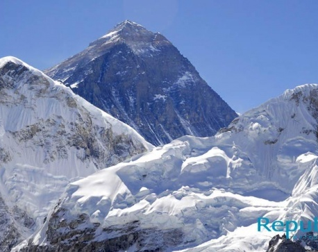
Republica File Photo and Clip Art
KATHMANDU, April 10: Prime Minister KP Sharma Oli on Wednesday bid farewell to a four-member team who are heading to the Everest Base Camp to measure the height of the world's highest peak.
The team, led by officer Khimlal Gautam, commissioned by the Survey Department, will scale Everest following two years of preparations, including collecting readings from the ground and training for extreme conditions.
Since the Indian survey of 1954, Everest's official height is 29,029 feet.
Some might wonder why it takes two years to measure the height of Everest. Then, some are curious why it isn’t possible to deboard from a helicopter to reach Mt. Everest and just use the required technology to measure its height within 10 minutes.
Susheel Dangol, chief survey officer of the Everest Height Measurement Secretariat at the Department of Survey laughs at both options. “It’s Everest, not a piece of cake,” he says.
Then, Dangol explains –
You can’t just get off a helicopter on top of Mt. Everest
 Helicopter or mountain flights might take you close to Everest, but you can’t just get off a helicopter. A helicopter is available but only from some camps on a huge mountain like Everest. “First of all, the helicopters rarely go on top of the Everest because it is risky due to low air density. So the idea is tempting but not translatable.” The weather condition is extreme and it is close to impossible to do so. In addition, you must acclimatize with Everest’s weather conditions. That’s why trekkers spend months to acclimatize before embarking on their summit to Everest.
In May 2005, a French pilot, Didier Delsalle had successfully landed a Eurocopter AS350 B3 helicopter on Mt. Everest.
The height starts from the sea level
 The Indian survey of 1954 recorded Everest's height at 8845 meters above sea level. After the earthquake of April 25, 2015, the Chinese side said Everest's height had shrunk and said the new height was 8844.15 meters. Sea level is important to measure the height or altitude of a place because it is the base level for measuring elevation and depth of Earth.
According to the National Geographic Society, “Because the ocean is one continuous body of water, its surface tends to seek the same level throughout the world. However, winds, currents, river discharges, and variations in gravity and temperature prevent the sea surface from being truly level.
So that the surface of the ocean can be used as a base for measuring elevations, the concept of "local mean sea level" has been developed. In the United States and its territories, local mean sea level is determined by taking hourly measurements of sea levels over a period of 19 years at various locations, and then averaging all of the measurements.”
Everest Base Camp isn’t Step I
 It’s so high that 12 observation centers are being used. Each station will bring different trigonometric level data variables which will be tallied and measured accordingly. The team will rely on trigonometric data from 12 stations placed in Khotang, Bhojpur, Solukhumbu and Dolakha districts.
“Today’s travel to Everest Base Camp is Step II,” Dangol said. The Indian government has data of Bay of Bengal. “We just need those from Nepal’s territory and upward.”
“The altitude from Siraha to Solukhumbu is 170 km above sea level.”
You’re scaling Everest
 Then, you can’t measure Everest’s height without scaling it. The team will scale Everest carrying GPS. When the team reaches the top, they will place the GPS on the peak. The satellite will extract the exact location and altitude. It takes at least 40 days to reach to the summit the Everest from the Base Camp, although Lhakpa Gelu Sherpa holds the record of fastest ascent (10 hours 56 minutes and 46 seconds) from Everest South Base Camp with supplemental oxygen on May 26, 2003.
It takes time to read all the data
 The team is using both traditional and modern methods to measure Everest’s height. The team will use four sets of surveys – precise levelling, trigonometric levelling, trigonometric triangulation, gravity survey and Global Navigation Satellite System (GNSS) in 285 points.
To measure the Everest’s height, the government has allocated 10.5 million rupees.
You May Like This

Surveyors visiting Mirchaiya to measure Mt Everest height
KATHMADU, Feb 9: In order to measure the height of Mt Everest on their own for the first time ever in... Read More...
Govt to measure height of Mt Everest
KATHMANDU, Dec 20 : Nepal has taken steps to measure the height of world's tallest peak Mt Everest for the... Read More...
Nepal to measure Mt Everest height
KATHMANDU, Sept 23: Nepal will measure Mount Everest afresh to settle a controversy over height of the world’s tallest peak,... Read More...


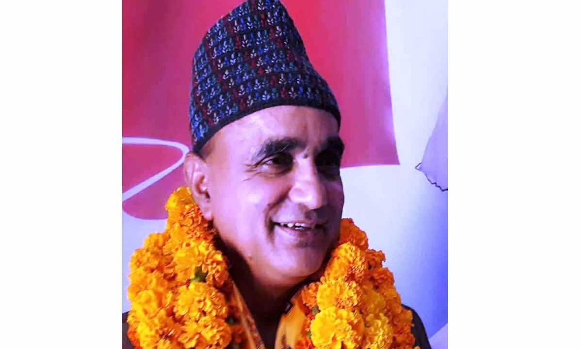
Karnali CM Kandel secures vote of confidence
3 hours ago
Just In
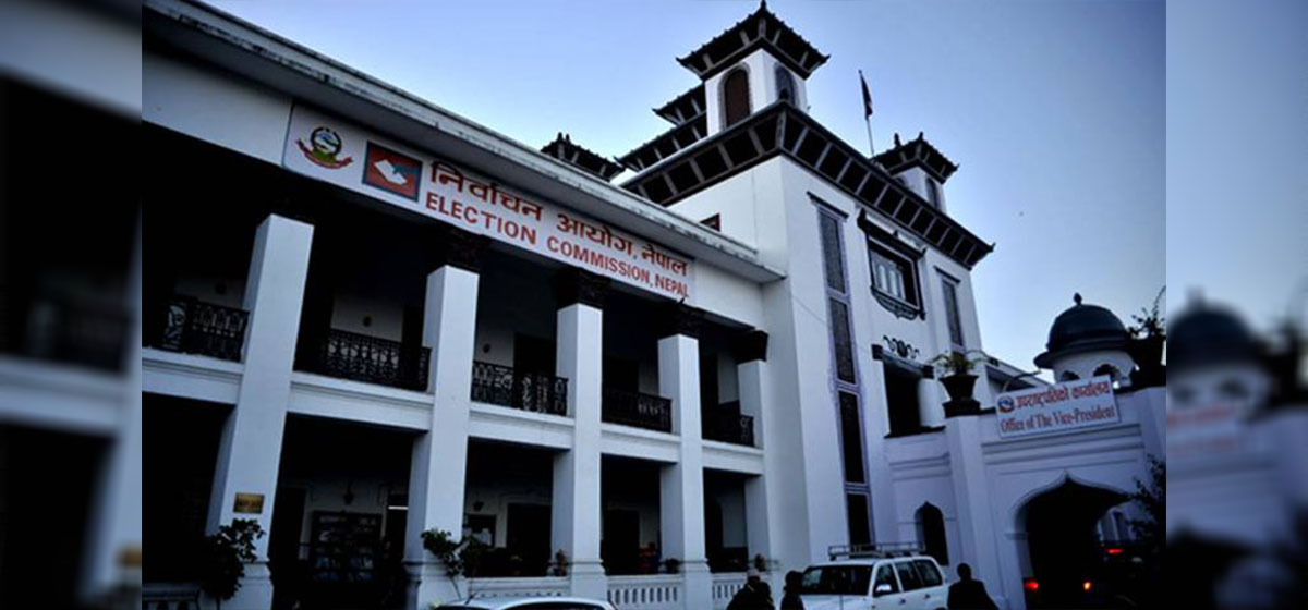
- MoEST seeks EC’s help in identifying teachers linked to political parties
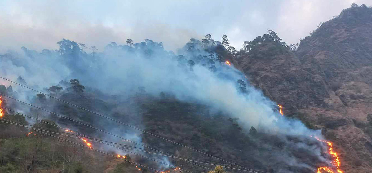
- 70 community and national forests affected by fire in Parbat till Wednesday
- NEPSE loses 3.24 points, while daily turnover inclines to Rs 2.36 billion
- Pak Embassy awards scholarships to 180 Nepali students
- President Paudel approves mobilization of army personnel for by-elections security
- Bhajang and Ilam by-elections: 69 polling stations classified as ‘highly sensitive’
- Karnali CM Kandel secures vote of confidence
- National Youth Scientists Conference to be organized in Surkhet
Leave A Comment