In fact, numerous facts clearly confirm that implementation of such a project will create a new set of urban problems rather than fulfilling its said objectives. First, hardly any of the previous studies namely ‘Kathmandu Valley Environment Outlook,’ (ICIMOD, MoEST and UNEP, 2007), ‘Kathmandu Valley Development Plan 2020,’ (MoPPW/GoN, 2000) and ‘City Diagnostic Report for City Development Strategy’ (KMC and WB, 2001) have envisaged such a mega project for the valley. Instead, they have cautioned the destruction of ecological diversity and functional open spaces due to rapid reduction of agricultural land, the life support of the valley. This single project will eat up approximately 3,961ha of agricultural land leaving just 27.04 percent of the valley’s land for agricultural purposes.
Moreover, the trickle down effect of such development will go beyond the planned areas of 250m on each side of the road, thereby causing further reduction in farmlands, forests, wetlands and open spaces. Even based on the proposed minimum density of 300 persons per ha as envisioned in the Kathmandu Valley Development Plan 2020, the newly pooled sites [3,961ha – 360ha (arterial road) = 3,601ha] will at least accommodate 10,80,300 population. Many curiosities arise here. Can Kathmandu Valley’s fixed natural resources and limited carrying capacity sustain such a development? Does the valley have sufficient socioeconomic activities to engage the displaced people? How will the government fulfill the requirements for basic amenities such as water and electricity, solid waste disposal and so on for this extra population in the land pooled areas when it has failed to meet the present demand in the existing settlements? In the absence of a master plan, how does the new development fit in the context of the valley? No convincing data and satisfactory answers have been given for such valid queries.
Second, the objective of the ORR to plan new business centers with commercial, social and recreational facilities in the land pooled area cannot be achieved simply because the government does not have any legal tool or mechanism to develop commercial and other activities in the private land unless it acquires them. As significant chunk of land will have to be contributed for arterial road, the local owners will be reluctant to contribute extra plots for open spaces and other community facilities. Despite close proximity of road junction between the radiating roads from the center to the existing ring road (built 30 years ago), they could not act as new business centers to relieve the pressure from the existing centers. Hence, these new developments will be converted into dormitory section of the valley with little social benefits for the public at large. Third, since the newly-developed sites through land pooling technique will not be ‘self-sufficient’ in terms of mixed land use and basic infrastructure provisions, the extra population living in these areas will have to commute to the existing urban centers for work and have to rely on the existing infrastructures thereby making these facilities more costly, insufficient, unreliable and highly vulnerable.
Fourth, though this project would be the biggest public construction in terms of scale and complexity, applying the present land pooling technique means it can neither contribute to reduction in housing deficit of the valley nor can it incorporate urban poor and low-income groups in the planned development. Despite the rise of land value by many folds, planned residential neighborhoods through land pooling in the past have been characterized by low-density development (less than 200 persons per ha), lack of basic amenities in daily life, poor safety and security and, above all, monotonous environment due to the formation of residential plots only. Repeating the same failed model on the name of financing public infrastructure does not make any sense.
Fifth, ribbon type development on the limited width of the land on both sides of the arterial road in the same fashion is not suitable for residential neighborhood community by any standard. As the transverse pedestrian and vehicular movement between different blocks of the same neighborhood is weak due to arterial roads in between, neighbors will feel physically, visually and psychologically separated from the same community. Numerous radial roads (2-4 lanes) merging into the proposed ORR (8 lanes in total) will form ‘bottleneck’ at the road junctions. The scope of losing the cultural values of traditional Newari settlements such as Bungamati, Khokana and Changunarayan is high due to extension of urban growth after construction of new arterial road. Finally, the existing legal and institutional framework is simply inadequate, ineffective and unreliable to implement such a huge and complex project. Absence of master development plan for the valley, lack of planning standards and urban design guidelines, poor coordination among the concerned public agencies and contradiction and conflicting clauses among different acts all act as deterrents. Hence, implementing the proposed ORR will prove nothing but a man-made disaster.
Most of the existing urban problems of the valley are, in fact, products of the government’s wrong policy and poor legal and institutional framework. Most of the objectives can be met through a new development strategy – urban design – without executing the ORR project. Many complex urban problems in other parts of the world have been easily solved through urban design approach whereas this profession is yet to be acknowledged by our government, decision makers and general public at large.
Related story
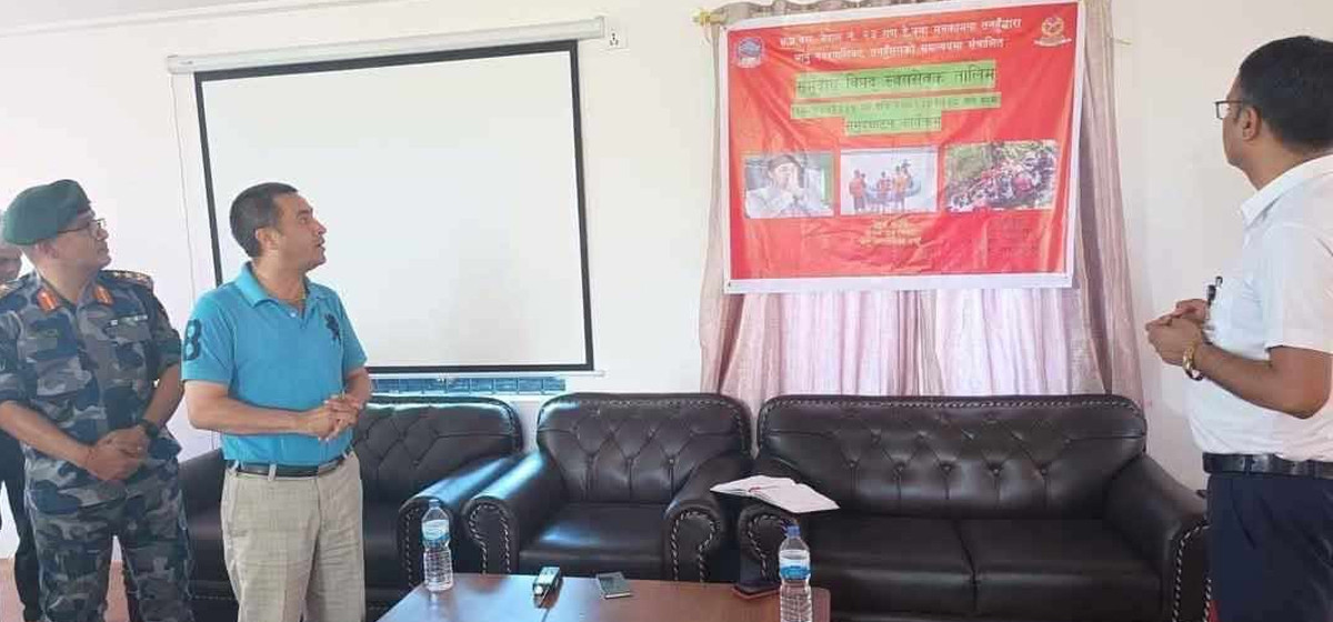
APF to form over 170,000 disaster informant groups across Nepal